
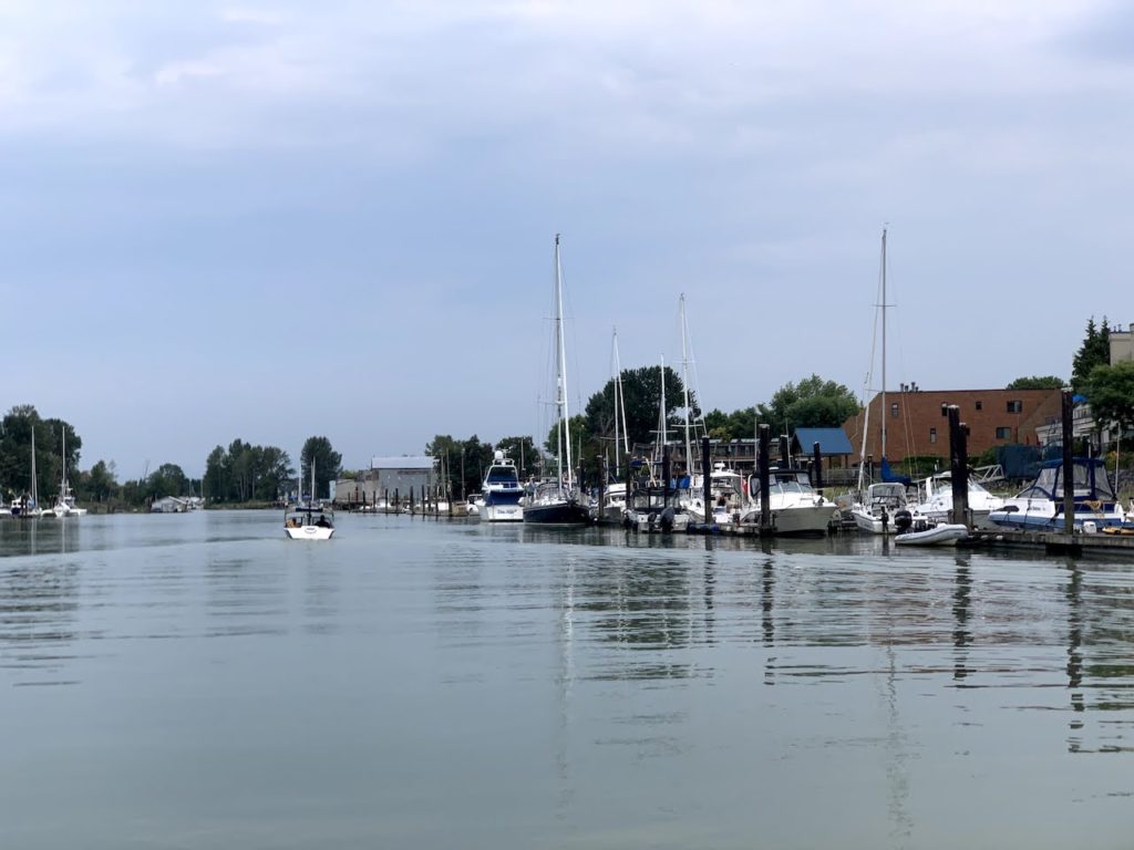
Paddling around Shady Island near Steveston, Richmond
Quick Facts Shady Island is a long, narrow island at the very end of the mighty Fraser River separating the […]
Quick Facts Shady Island is a long, narrow island at the very end of the mighty Fraser River separating the […]
Quick Facts I originally grouped this post with Deas Slough Paddle, but the two sections of Fraser River, although connected,
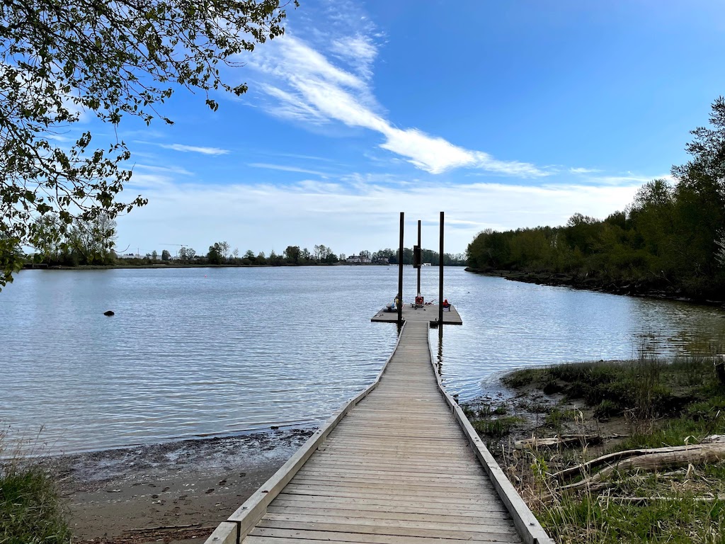
Quick Facts Parking and Launching: Deas Island Regional Park (49°07’34.5″N 123°03’18.2″W) Launching type: dock and muddy beach Difficulty – easy,
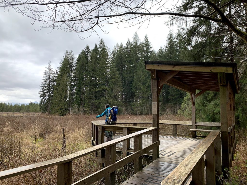
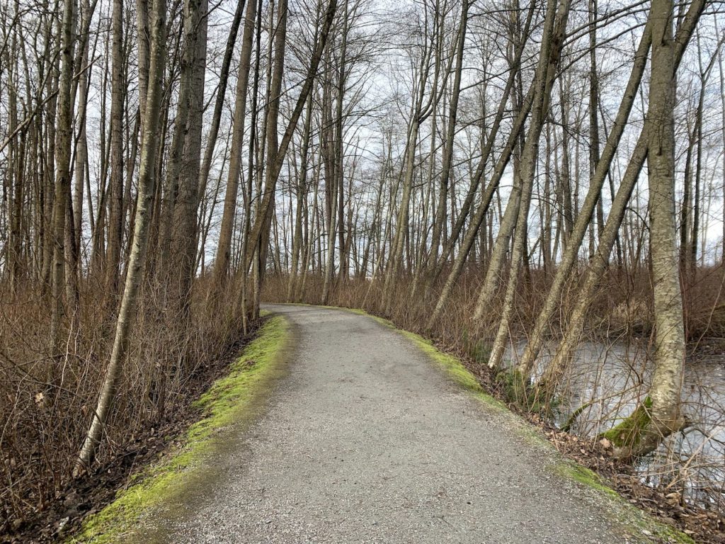
Quick Facts: AllTrails link: Derby Reach Regional Park, 9.2km with 70m elevation gain Difficulty: easy, doable with a stroller but
To map out our Fraser River Series of parks, we headed to Fraser Foreshore Park in Burnaby on a cloudy
Quick Facts: AllTrails link: Deas Island Difficulty: easy, stroller friendly Traffic: moderate Facilities: flush toilet near the northern tip of
To continue our exploration along the Fraser River after Deering Island Park, and Fraser River Park, we decided to go
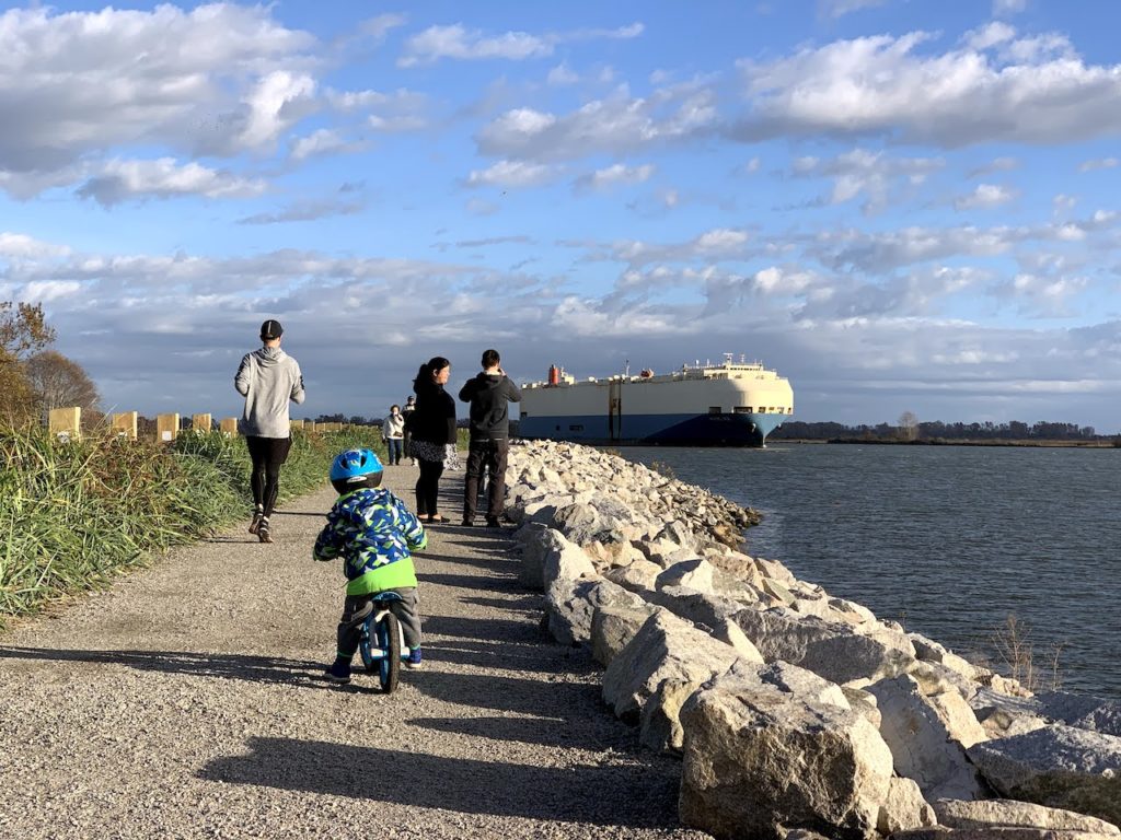
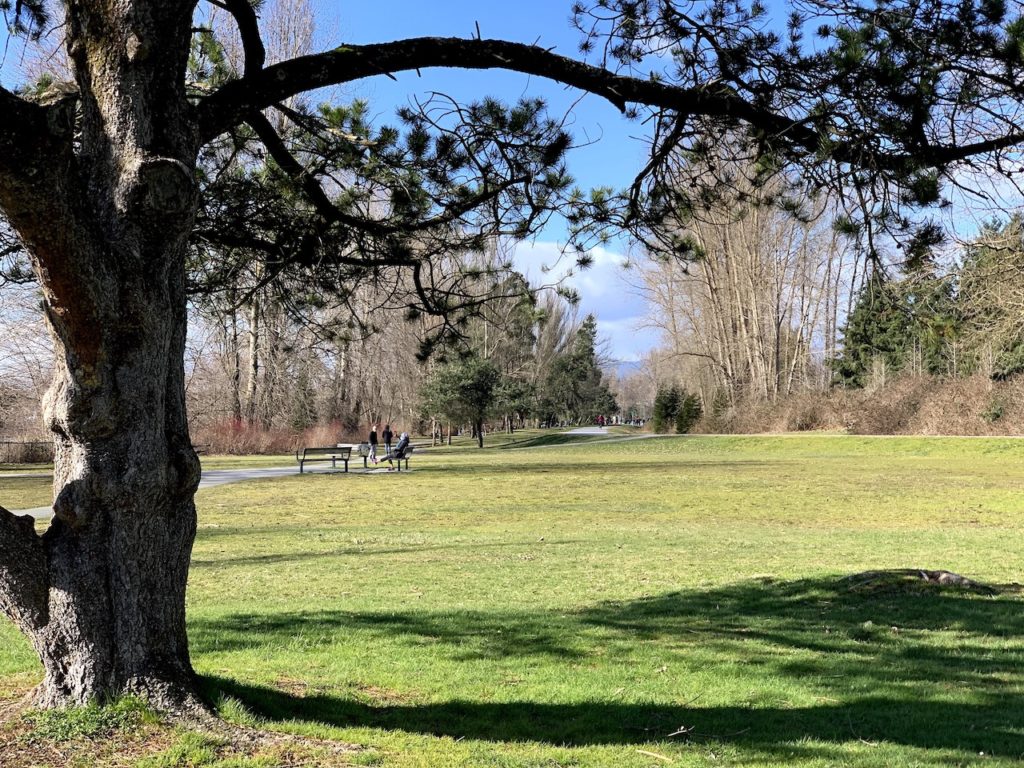
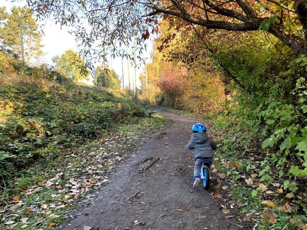
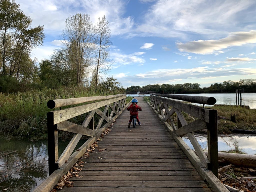
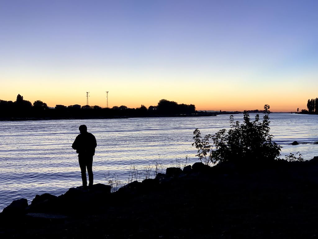
Quick Facts: AllTrails link: Richmond South Dyke Trail Difficulty: easy, flat, stroller friendly Traffic: usually light Facilities: flush toilet, picnic
After visiting Deering Island Park, we became more interested in parks along the Fraser River. For one, the view is
Did you know there’s an island in the Dunbar/Southlands neighbourhood in Vancouver, that’s so small it only has 1 street