-
Sumas River Paddle (and an attempt at the Floating Forest)
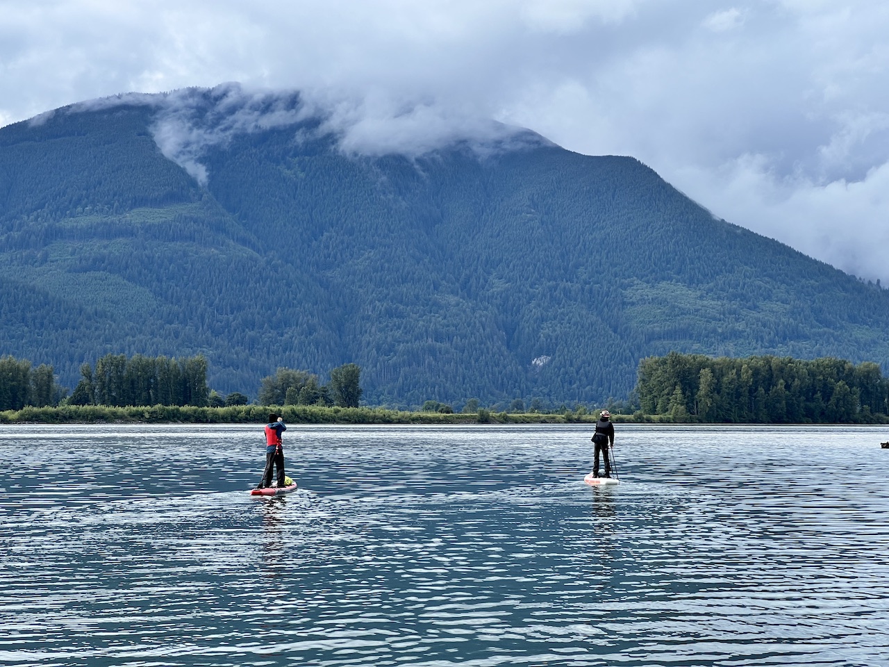
The fabled ‘Floating Forest’ has been mentioned numerous times in local paddling communities, but it’s never clear to me exactly where it is or how to get there. So when Howard called for a Sumas River Floating Forest paddle, I jumped on the chance. I had a great time paddling with Howard on Harrison River,…
-
Nicomekl River Paddle
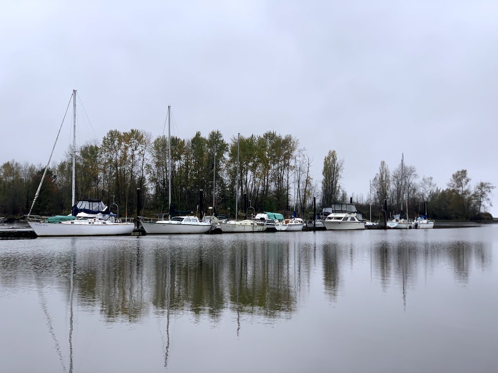
Nicomekl is a calm, historic river in Surrey. The popular paddle section flows from the Elgin Road Dam to Blackie Spit, where the river drains into Boundary Bay. Due to the dam, which intentionally cuts off the river almost completely so that sea water doesn’t flow into the farmlands upstream, the river doesn’t actually flow…
-
Capilano Suspension Bridge – Great Tourist Attraction for Locals
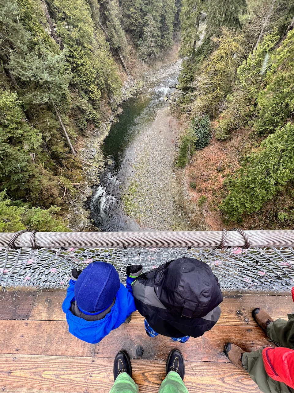
With an abundance of outdoor options all around Metro Vancouver, we have avoided visiting Capilano Suspension Bridge due to its pricey entry fees ($62.95 for adults for a day ticket, which is the same price as an annual pass for BC residents). To us, it felt more like a tourist destination. Why pay $136 when…
-
Paddling Alouette River
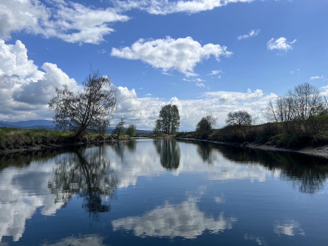
Quick Facts Alouette River is a popular paddling destination for some of the best and easiest river conditions around Vancouver. There’s something magical about paddling a meandering river that constantly reveals something new with every turn, be it a new composition of the views, new wildlife to greet, a new navigation decision, a sudden change…
-
Ladner Marsh and Harbour Paddle
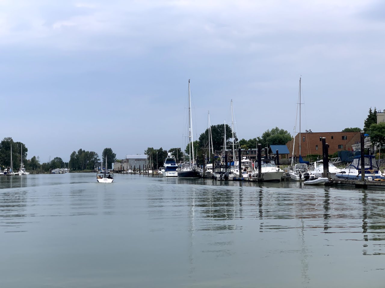
Quick Facts I originally grouped this post with Deas Slough Paddle, but the two sections of Fraser River, although connected, are quite distinct. Unlike the blind channel in Deas Slough, the water flow in this side branch of Fraser South Arm is heavily affected by tidal current, which is strong enough to reverse the river…
-
Deas Slough Paddle
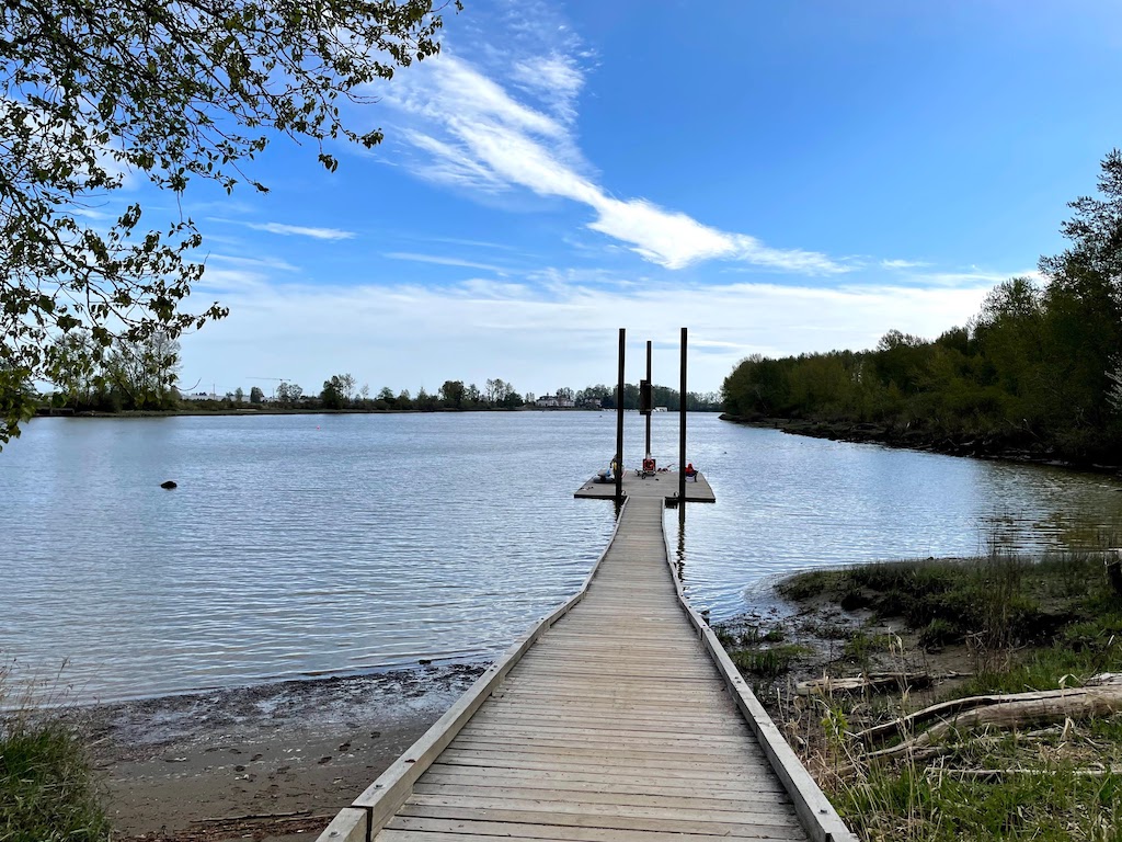
Quick Facts Parking and Launching: Deas Island Regional Park (49°07’34.5″N 123°03’18.2″W) Launching type: dock and muddy beach Difficulty – easy, but with occasional boat wakes Boat traffic – usually infrequent View – muddy Fraser River slough and marshes, distant views of North Shore mountains Facilities: picnic tables, a regional park with trails, toilet about 100m…
-
Brunswick Point Trail
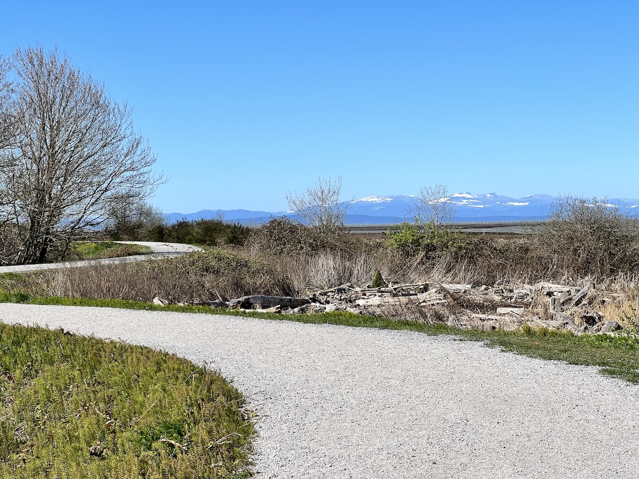
Quick Facts: AllTrails link: Brunswick Point Trail, 11.3km with minimal elevation Difficulty: very easy, stroller friendly Traffic: light Facilities: no toilets View: Fraser river estuary, lots of birding opportunities, surprisingly great views of surrounding mountain ranges on a clear day Overall score: 7/10 Brunswick Point Trail is a great hidden gem at the eastern tip…
-
Campbell Valley Regional Park
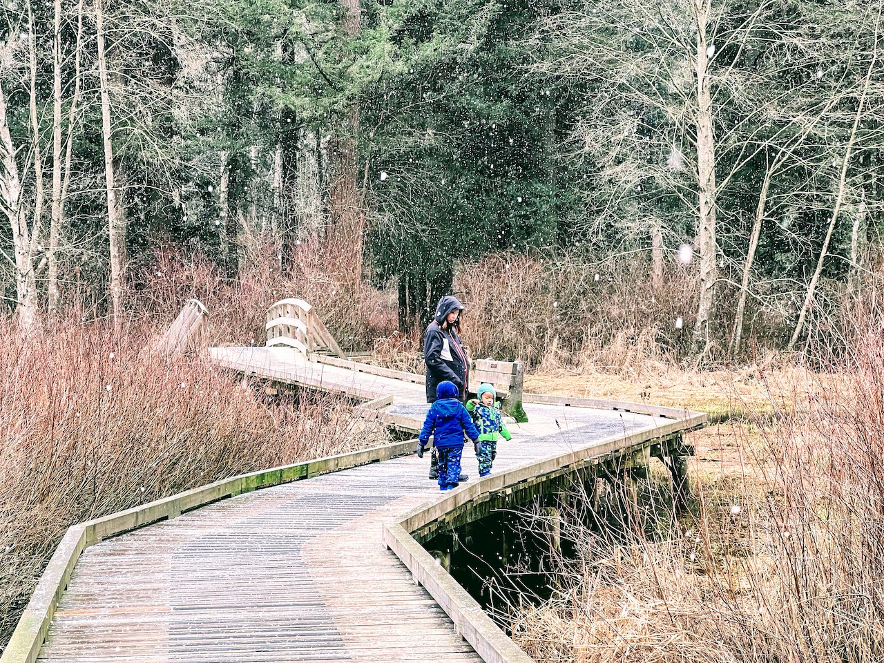
Quick Facts: AllTrails link: Little River Loop, 2.3km with 11m elevation Difficulty: very easy, stroller friendly Traffic: light on a winter morning Facilities: pit toilet View: wetland, river view Overall score: 5/10 We had a chance to visit South Surrey and we dropped by Campbell Valley Regional Park for a quick stroll, which is just a…
-
River of Golden Dreams
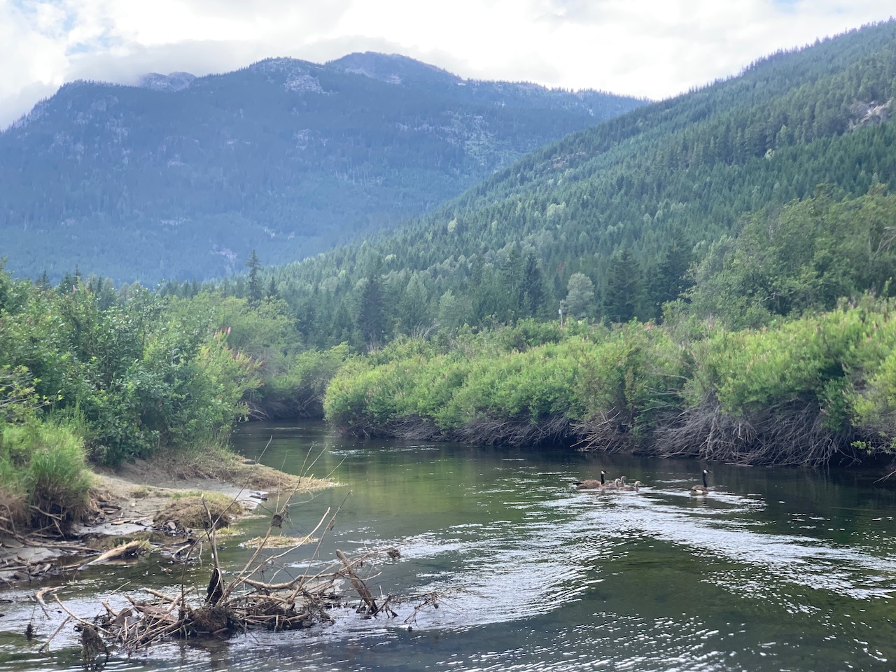
Quick Facts River of Golden Dreams in Whistler BC is a fun river to paddle on. The river flows northward starting from the northern end of Alta Lake, meanders through dense bushes, under some bridges, over many beaver dams which creates fun little rapids and obstacles, and eventually arrives at Green Lake. The best place…
