Quick Facts:
- Parks Canada website: https://parks.canada.ca/pn-np/bc/gulf/activ/camping/campinglavantpays-frontcountrycamping
- Facilities: rustic, with pit toilets, drinking water and garbage collection, but no showers
- Activities: mostly used as a base camp to explore Pender Island, not much activity available directly from camp
- Outdoor Fam rating: 5 out of 10
We spent two nights camping at Prior Centennial Campground on North Pender Island, using it as our base camp to explore Pender by hiking, swimming, and eventually discovering what might have been the kids’ favourite activity of the entire trip: disc golf.


Prior Centennial Campground
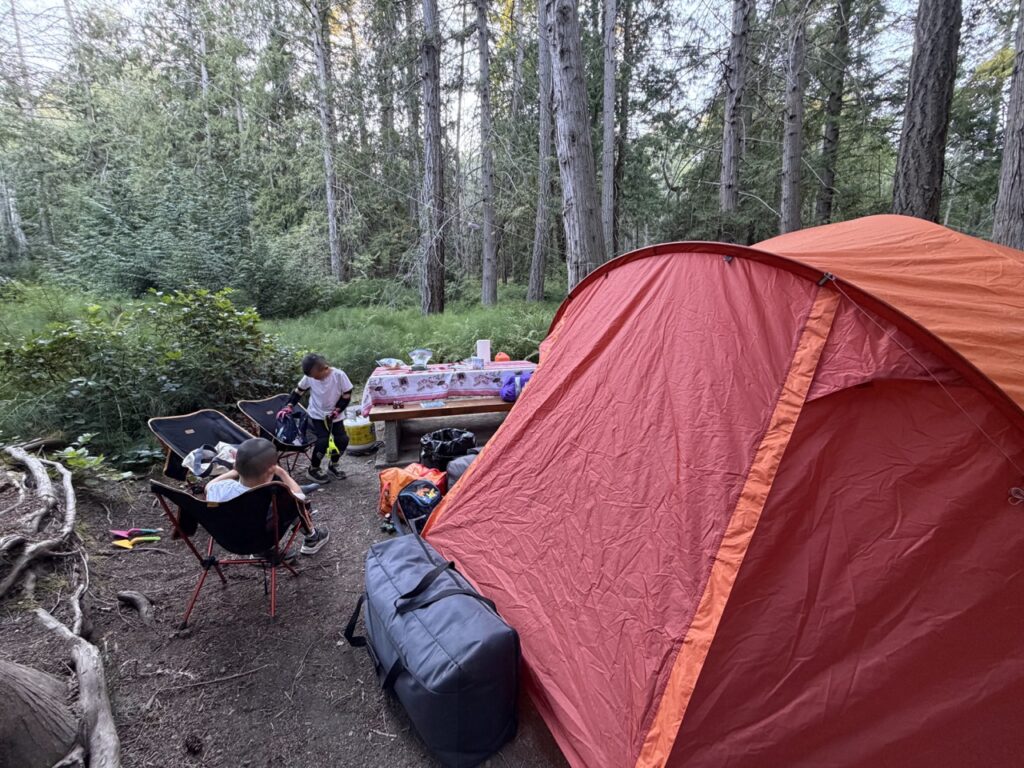
Prior Centennial is a cute little ring-shaped campground with only 17 campsites, managed by Parks Canada as part of Gulf Islands National Park Reserve. The sites are quite small—we could barely fit our car and six-person tent—but they have excellent tree cover and good privacy between sites.
Drinking water and pit toilets are located near the park entrance, making sites 1–2 and 16–17 particularly convenient. Garbage and recycling are available, but there are no showers.
It’s basically a small roadside campground with no views or attractions of its own. Fortunately, road noise was minimal, thanks to the generally laid-back pace of Pender Island. The campground is surrounded by thick vegetation, including lots of horsetail. Apparently dragonflies love horsetail habitat, and nuisance bugs hate dragonflies. Whatever the ecological explanation, bugs weren’t much of a problem for us.
Most importantly, Prior Centennial turned out to be a really good base camp for exploring the island.


Brooks Point Shore Hike
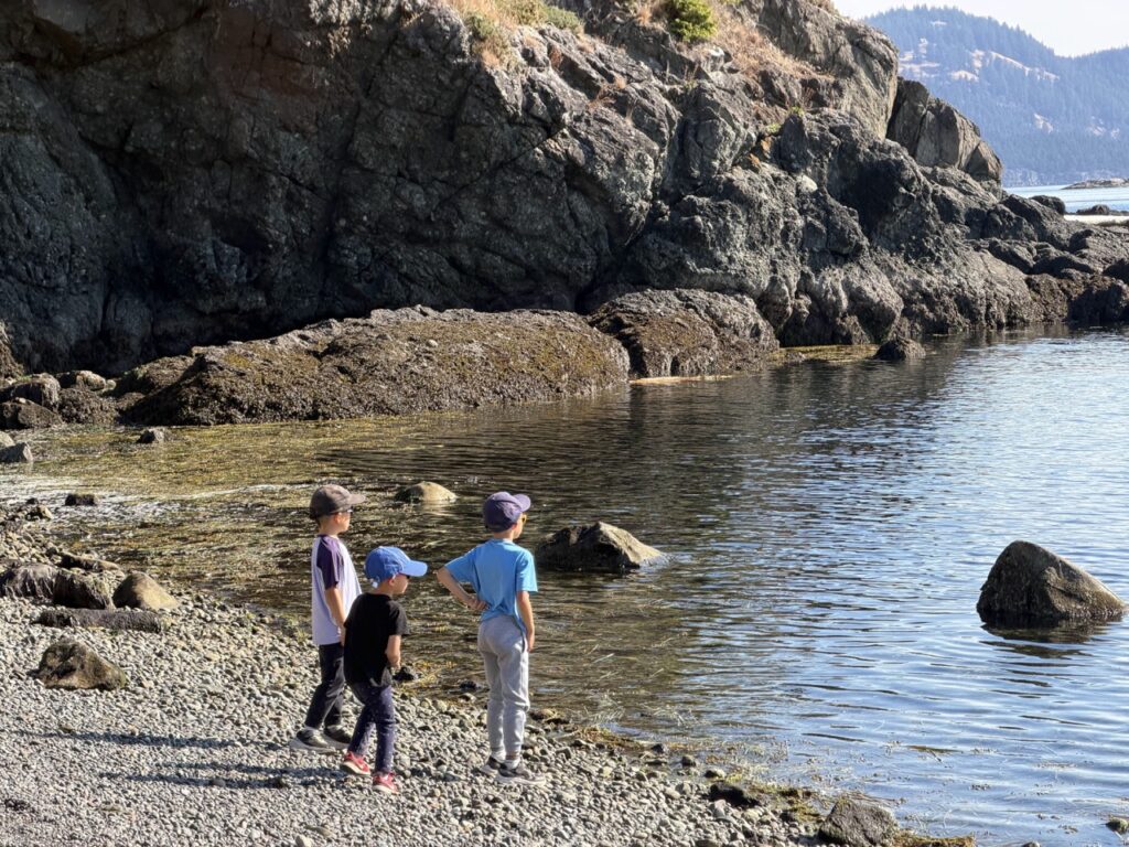
We started our first full day at Brooks Point Regional Park, arriving in the morning just after low tide.
From the small parking area near Gowlland Point, we headed onto the rocky shoreline, where conglomerate rock and little tidal pools gave the kids plenty to investigate. We found an anemone in one of the pools, which naturally became the centre of attention for a while.
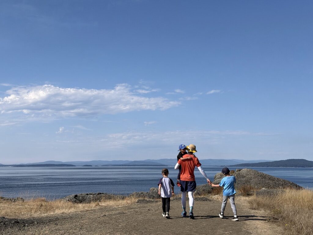
The hike itself was quite exposed, and the morning sun cooked the kids a little more than expected. But we were rewarded with spectacular views across the water and along the rocky shoreline. The combination of dry grass, exposed rock and ocean reminded us a lot of Ruckle Provincial Park on Salt Spring Island.



Mount Norman — East Approach
Our bigger hike was Mount Norman, the highest point on Pender Island.
I deliberately chose the east approach because the parking area is right at the trailhead, making logistics about as simple as possible with three kids. The West approach was reportedly more popular but it includes a 200m walk from parking lot to the trailhead on a gravel road.
The trail was rooty and reasonably steep in a few sections, but there was nothing our four-year-old couldn’t handle with a bit of encouragement. Parks Canada classifies this trail as a black-diamond “advanced” hike.
Not for this family!
The viewing platform at the top was awesome, with expansive views over the Southern Gulf Islands. It reminded us of the observation tower on Orcas Island, where we had camped with my late mom. Standing there looking across the islands, I thought about her and that last camping trip together.
After enjoying the view, we headed back down and returned to camp for lunch before setting out again.


Medicine Beach
Our afternoon objective was swimming and snorkeling, so we drove over to Medicine Beach to investigate.
One of the most striking features here is the exposed bedrock along the shoreline. Thin layers of sedimentary rock have been tilted steeply upward, creating long parallel ridges running right into the sea. At low tide, erosion along the edges of these layers creates an almost ribbed pattern across the beach, while the adjacent cliffs reveal the same strata rising at a dramatic angle. It’s a neat glimpse into the geological forces that folded, tilted and eventually eroded the rocks of Pender Island.
The swimming, unfortunately, was less stellar.
Medicine Beach sits on a shallow bay with boats moored offshore, and the beach itself is mostly pebbles. After looking around for a while, we decided this wasn’t going to be our swimming spot and moved on.


Peter Cove
Our next attempt was Peter Cove, which looked much more inviting.
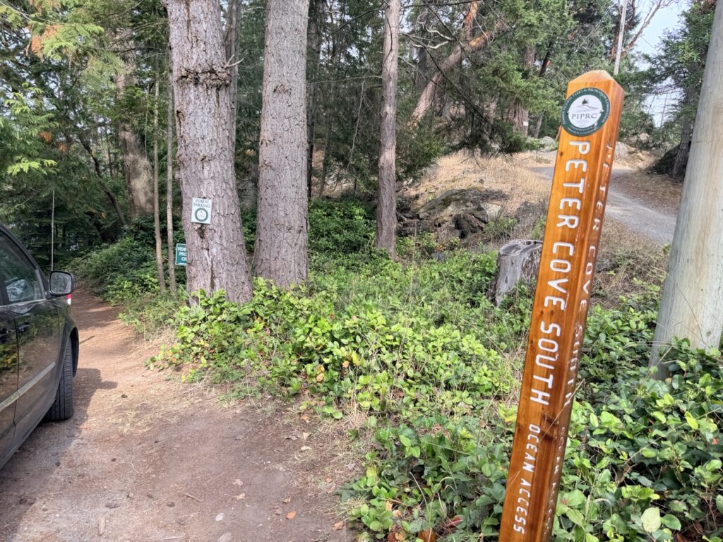
It’s a small, secluded cove tucked among a handful of waterfront homes, with calm water that immediately looked better for swimming. Unfortunately, there appeared to be exactly one practical parking spot near the beach, and somebody had already claimed it.
We briefly double parked just long enough for me to walk down, take some pictures and confirm that yes, this would indeed have been a nice place to swim.
Then we headed back out.


Magic Lake
Our failed swimming expedition turned out to be a good thing.
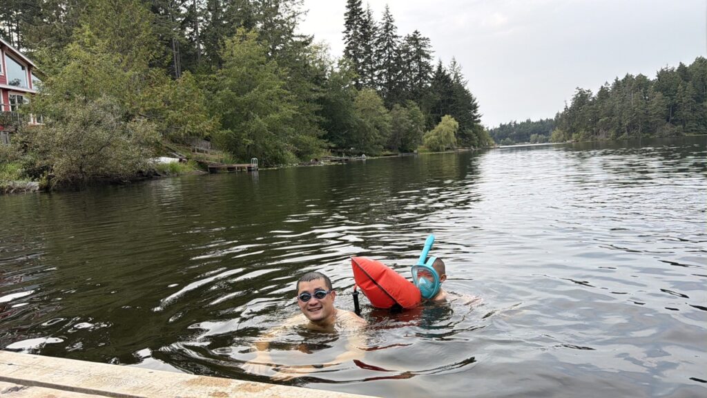
On the drive back toward camp, Tina spotted a swimming hole at Magic Lake. We made a U-turn to investigate and ended up spending almost an hour swimming and snorkeling there.
This became one of the most fun stops of the trip.
Thanks to my newfound interest in open-water swimming, I was perfectly happy to keep going back and forth from the swimming dock. The kids took turns coming with me one at a time, and I basically became their personal aquatic shuttle service.
There wasn’t much happening underneath us, but the kids didn’t care. Small fish swimming around the dock and lily pads along the shoreline were plenty exciting through a snorkeling mask.
Sometimes the best family travel discoveries aren’t the places you planned to visit at all.


Attempting the Heart Trail by Bike
Apparently we still hadn’t done enough for one day, because before dinner we decided to squeeze in one last adventure.
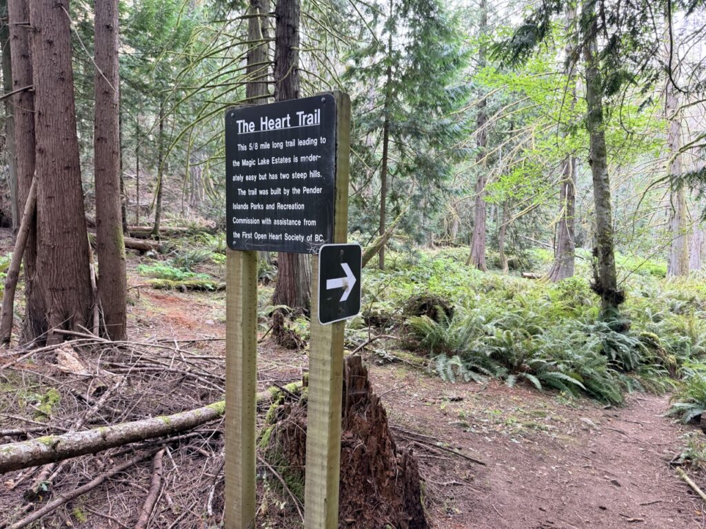
The Heart Trail runs right past Prior Centennial Campground, so naturally we thought: why not bike it?
We quickly discovered why not.
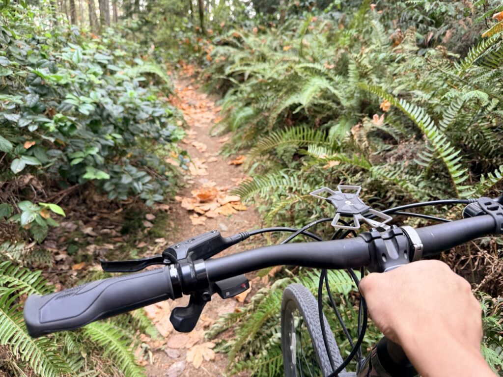
The trail immediately became far too steep and technical for the younger kids, so Tina turned around with them while Big Bro and I continued. He has become a pretty adventurous, camp-trained little mountain biker, but after a few hundred metres of steep, rooty and increasingly overgrown trail, even he had enough.
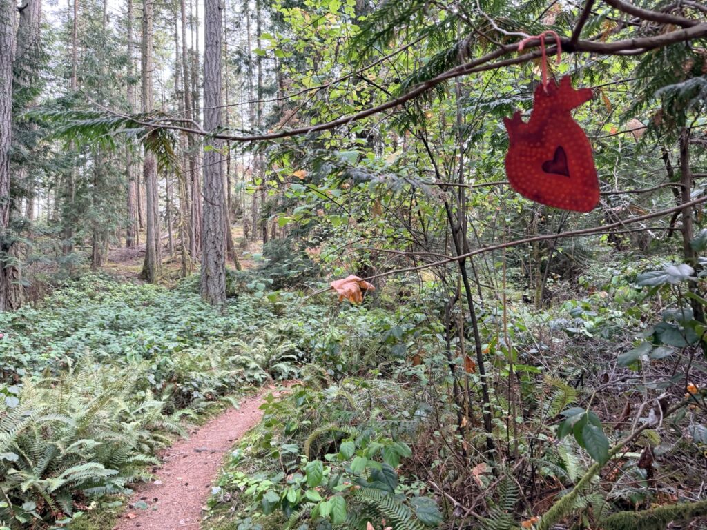
We admitted defeat, turned the bikes around and headed back down to camp for dinner. Knowing when to fold is an essential skill. It may be possible to hike this trail and connect to the disc park (see below), which could be a worthwhile adventure.

Golf Island Disc Park
After breaking camp the next morning, we saved one of Pender Island’s most unique attractions for last: Golf Island Disc Park.
It’s a free 27-hole disc golf course divided into three loops of nine holes each. The course winds through a rocky forest with a fun amount of climbing and descending, while trees provide a seemingly endless collection of obstacles for beginners who have only a vague idea where their discs are going.
Which was us.
Best of all, there were free loaner discs available at the start, so we didn’t even need to buy or bring our own.
Thank you, Penderites!
The kids had an absolute blast. The combination of throwing things, scrambling over rocks, exploring the forest and trying to hit a target was basically tailor-made for them. It was easily one of the highlights of Pender Island and something we’d happily come back to do again.


One Last Stop at Driftwood Centre
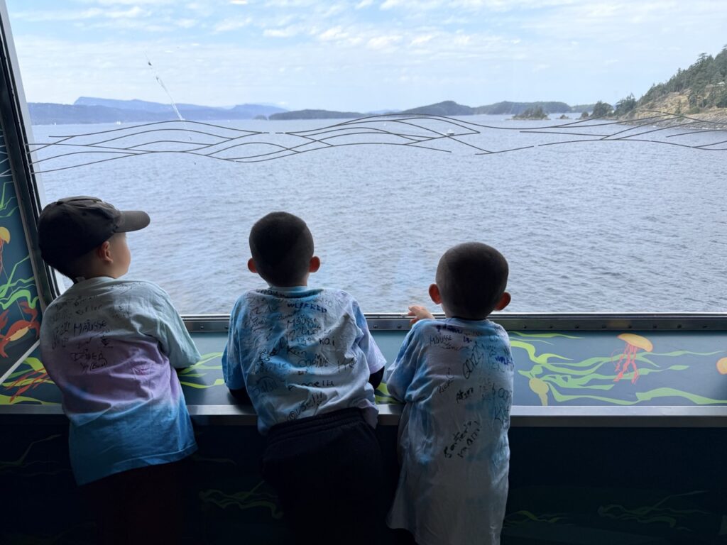
Before saying goodbye to this charming Southern Gulf Island, we made one final stop at Driftwood Centre.
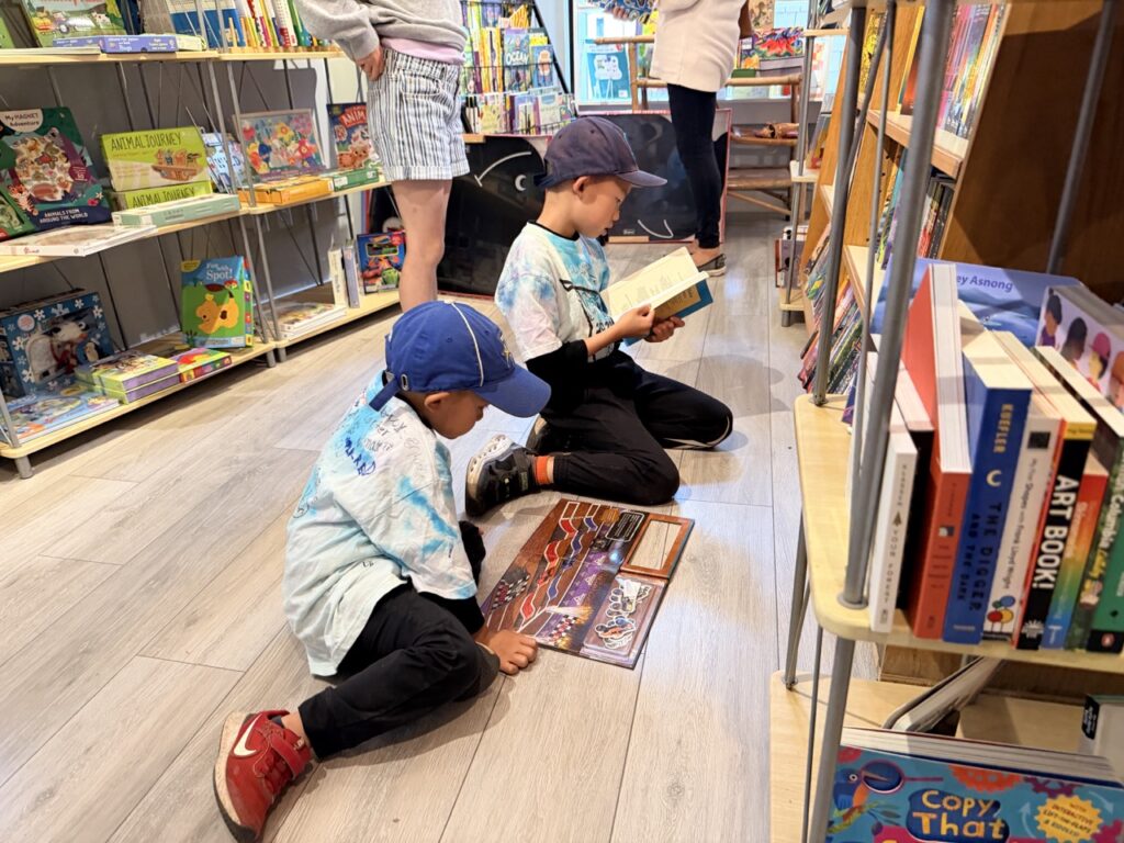
We browsed Talisman Books, which had a wonderful collection of new books as well as discounted used books, and picked up a few for the trip home. Then we grabbed a takeout lunch to eat while waiting in the ferry lineup.
Later, while reading the Pender Islands Handbook, I discovered that the author had ranked the east approach to Mount Norman as his number-one favourite hike on Pender Island.
This made me feel disproportionately proud of myself for independently making the same choice.
And with that bit of validation, our two-day exploration of Pender Island came to an end.

Discover more from Outdoor Family
Subscribe to get the latest posts sent to your email.