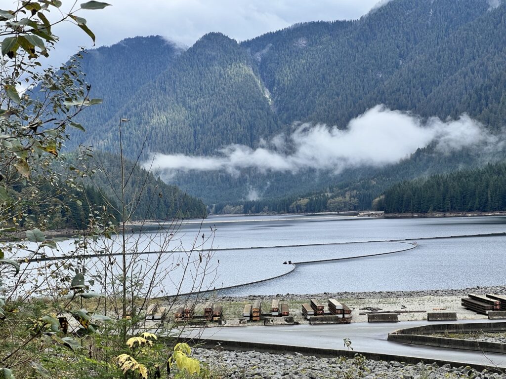
Lower Seymour Conservation Reserve (LSCR) is a 5,668-hectare protected area in North Vancouver, located just south of the Seymour Reservoir. It includes the popular Rice Lake trail—our go-to family-friendly loop around a charming fishing lake—and a network of biking routes for every level. The easiest and most popular ride is the Seymour Valley Trailway, a paved, two-way 11 km road with gentle rolling hills that links the Rice Lake parking lot to Seymour Dam.
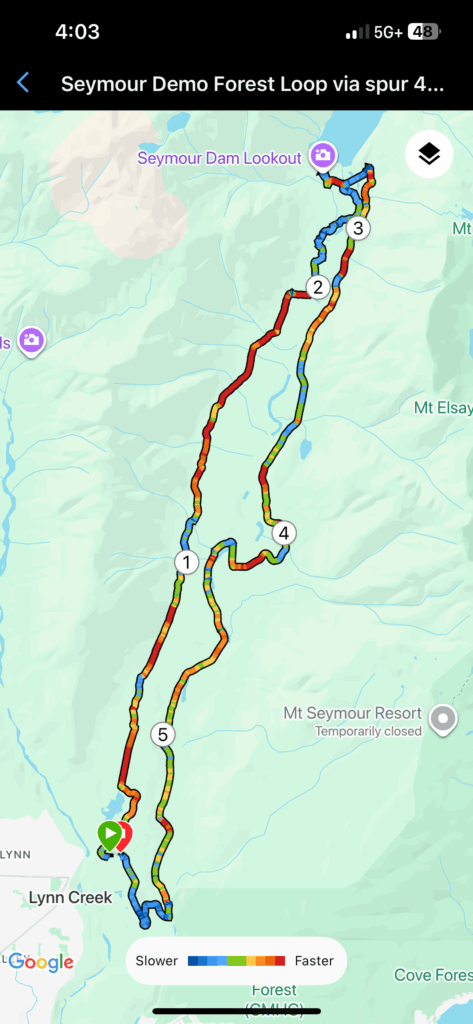
Every time we hike around Rice Lake, we see plenty of cyclists gearing up for the Trailway. This time, it was finally my turn. I followed the Seymour Valley Trailway and Spur 4 Loop route on AllTrails almost exactly.
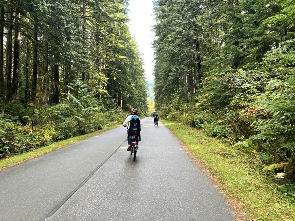
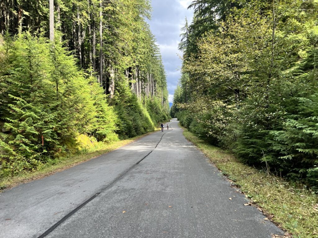
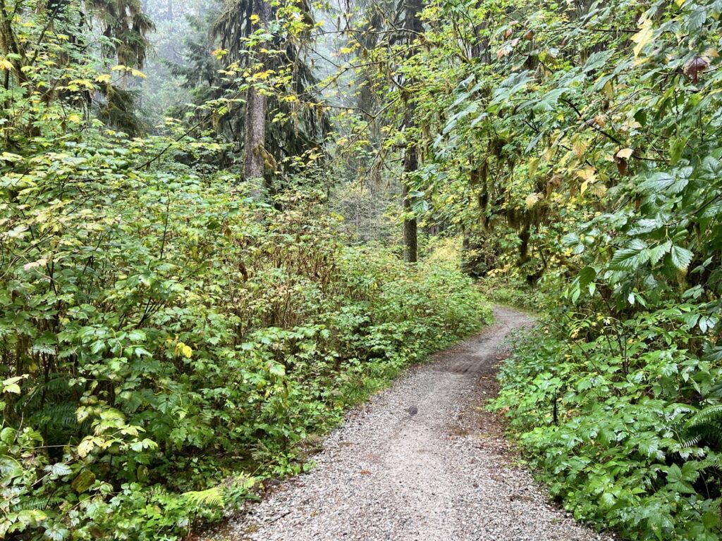
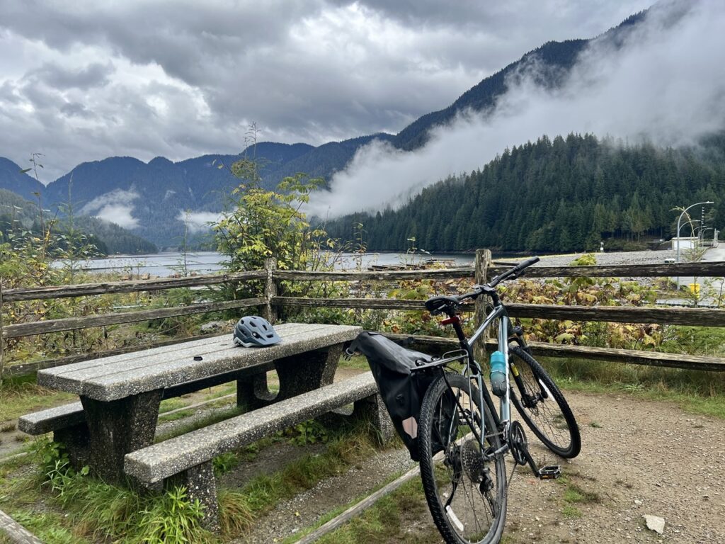
The first 10 km on the Seymour Valley Trailway was smooth and enjoyable. There were a few short bursts of 10–13% grade climbs, but overall the ride was relatively flat. With towering trees on both sides and no cars to worry about, it’s an excellent place to rack up mileage while soaking in the forest.
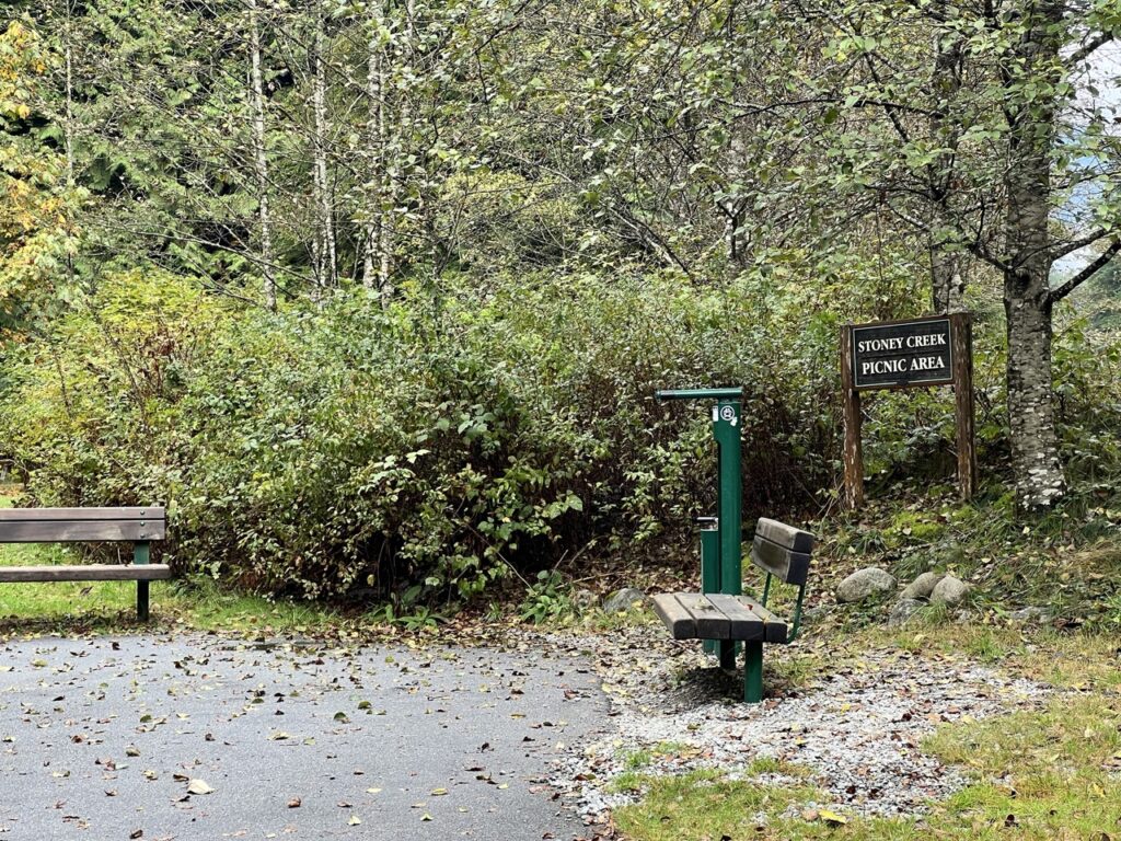
Picnic areas appear every few kilometers, complete with outhouses, benches, and tables—a nice option for families or anyone looking for a mid-ride break.

At the 10 km mark, the Trailway intersects with Seymour Mainline, a private road used by staff heading to the reservoir. From here, cyclists can either turn left to reach Seymour Dam via the paved road or continue straight onto Spur 7 and ride the far more adventurous Coho Trail singletrack along the Seymour River.
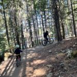
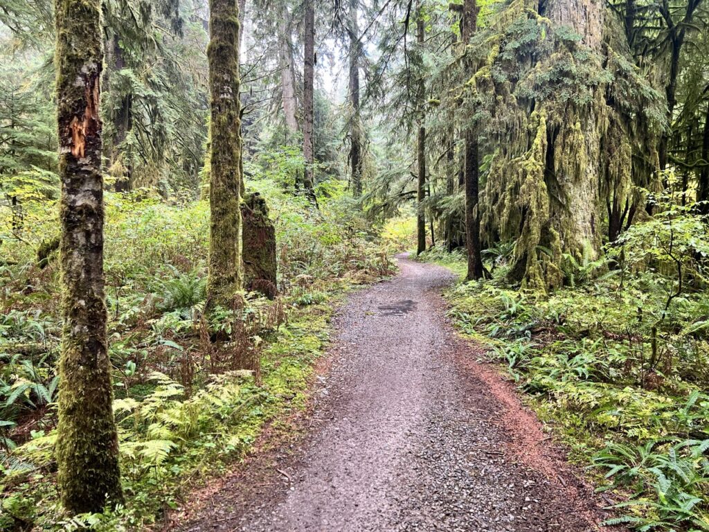
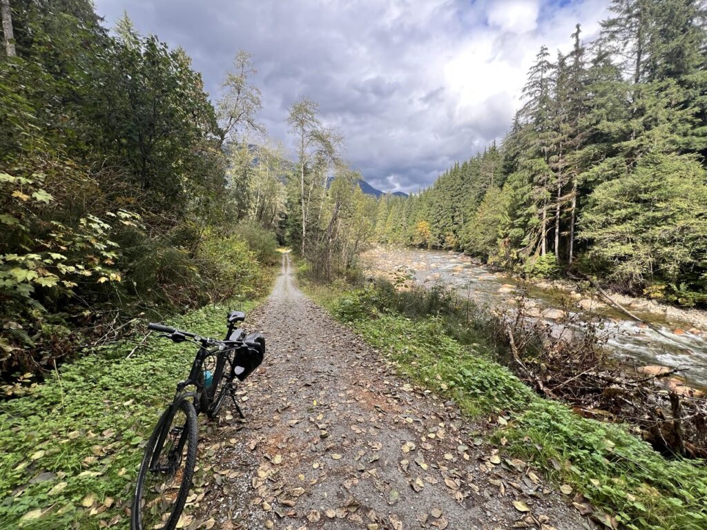
I chose the singletrack, and the ride instantly became more exciting. For long stretches on the Coho Trail, it felt like I had the forest completely to myself.
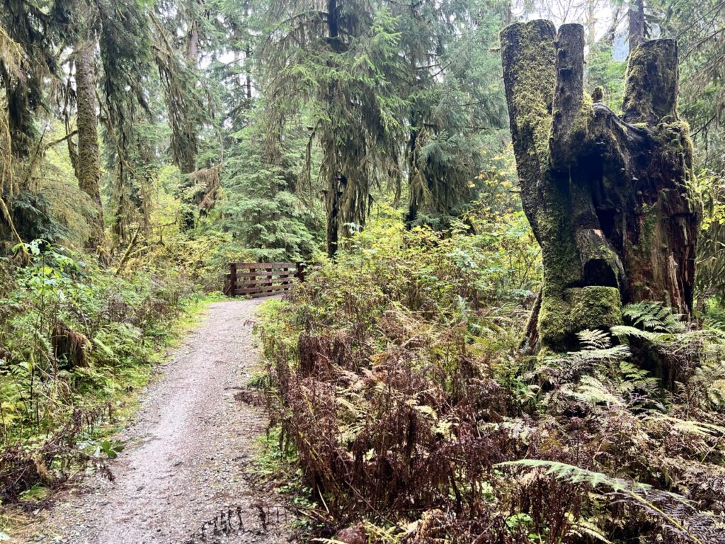
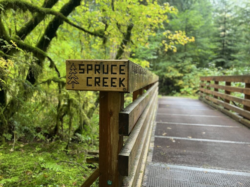
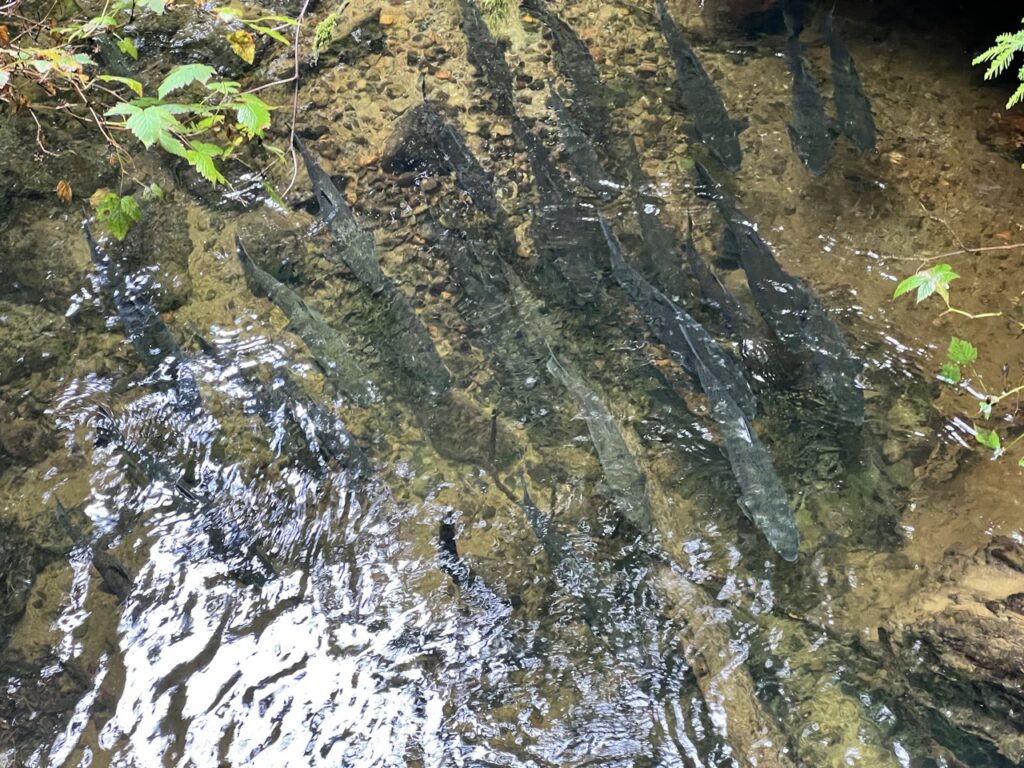
Crossing one bridge, I heard splashing below and instantly knew what it was—salmon returning to spawn. I paused to watch them thrash upstream, a reminder of how alive this forest truly is.
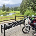
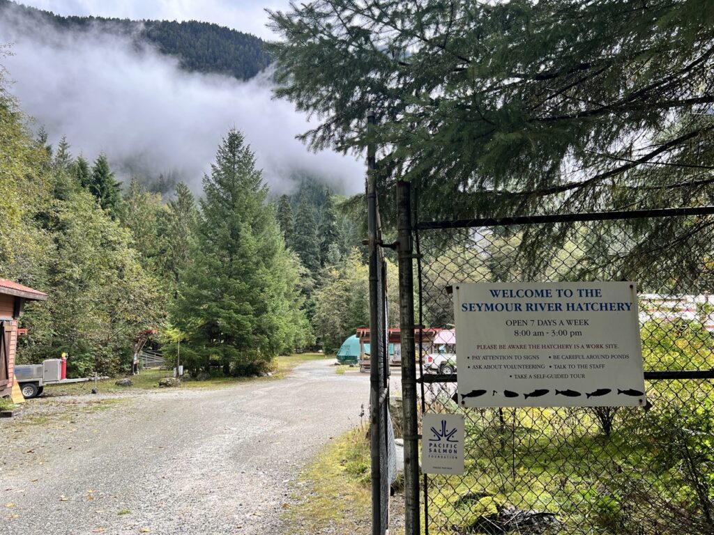
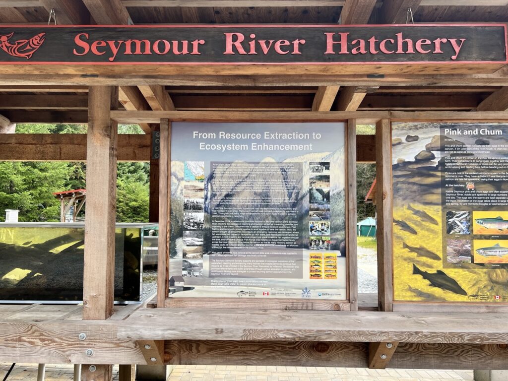
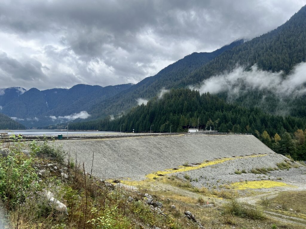
Before long, the trail led me to Seymour River Hatchery, which is open for self-guided tours from 8 a.m. to 3 p.m. Soon after, I climbed a steep hill and enjoyed a snack break at Seymour Dam.
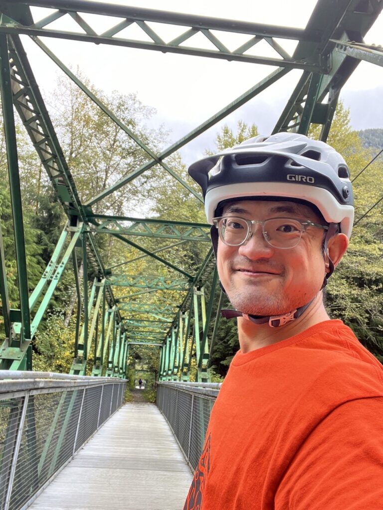
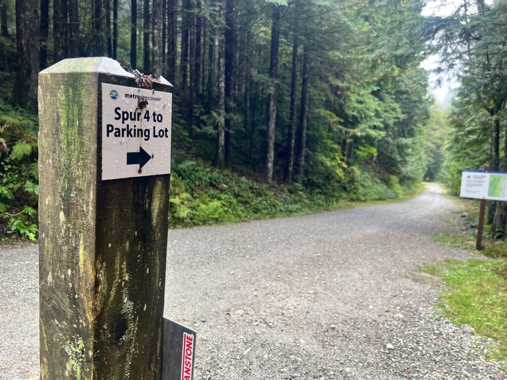
For the return leg, I had options: cruise back on the paved roads, retrace the Coho Trail, or push across Bear Island Bridge to try the more challenging Spur 4 Trail. Feeling strong, I went for the challenge.
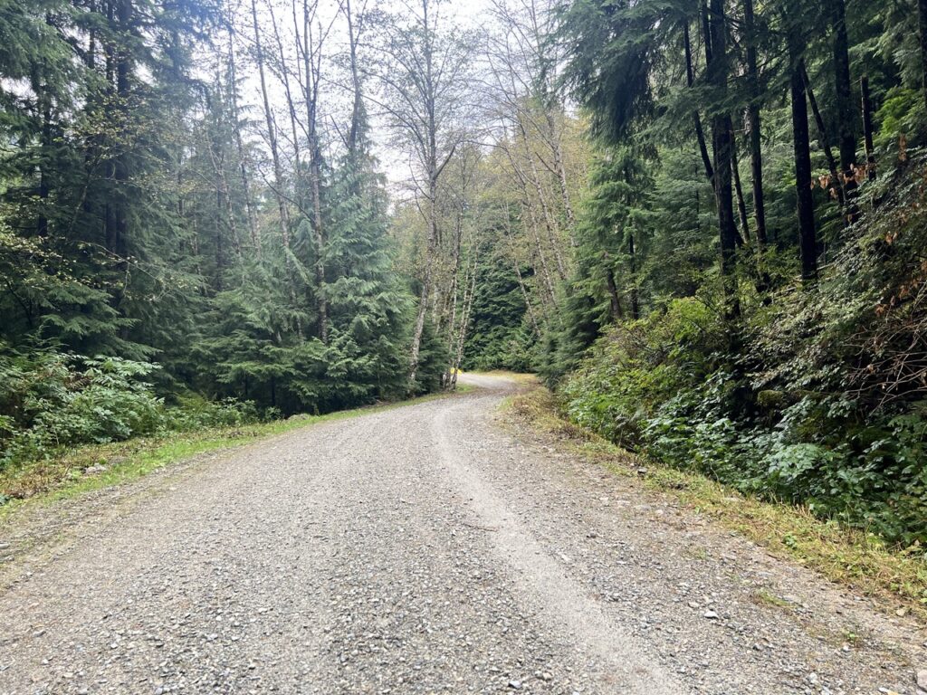
To be honest, Spur 4 was underwhelming—just a long gravel double track that rattled my bike without offering much scenery. After 7 km of steady vibration, I was glad to reach a crossroad. With no signage (and no cell service outside the parking lot), my offline map proved invaluable.
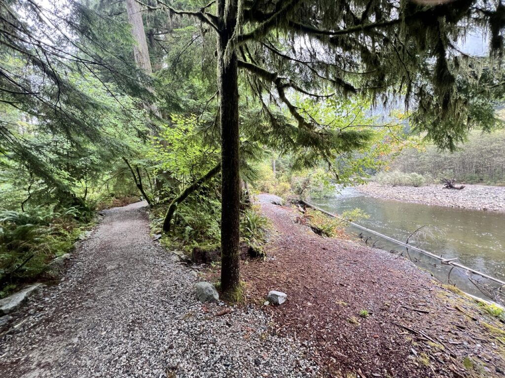
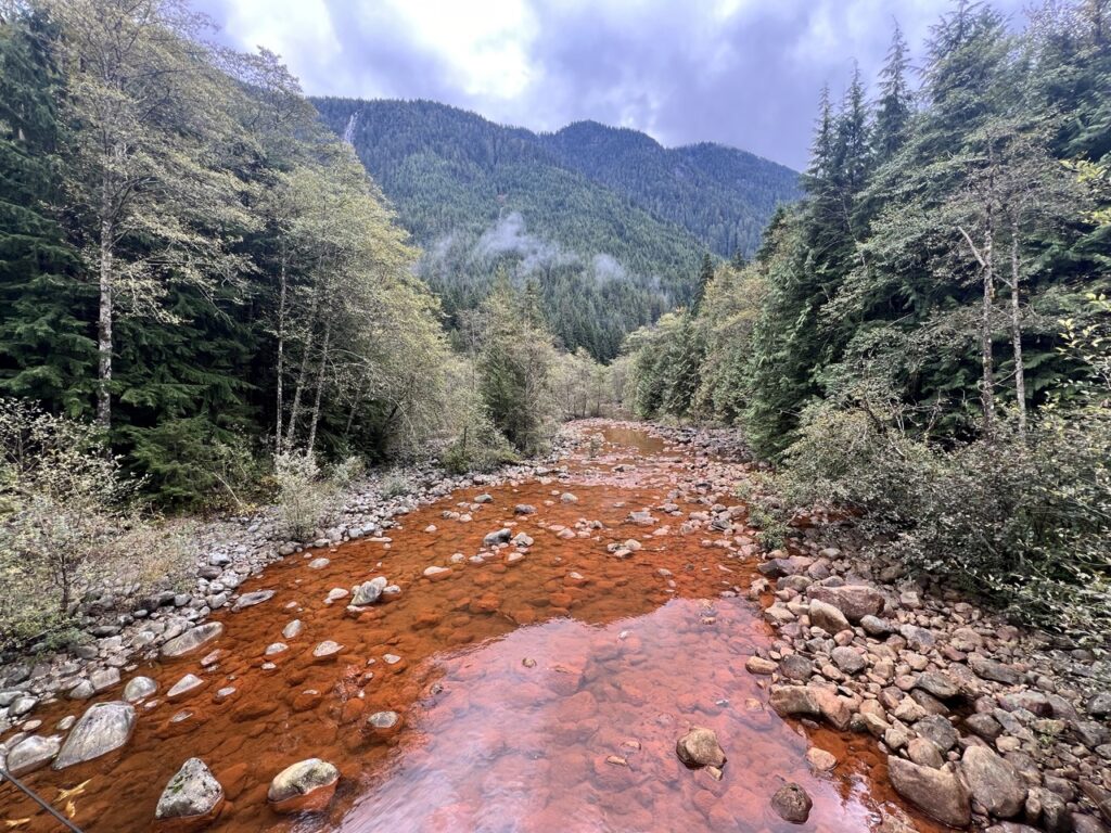
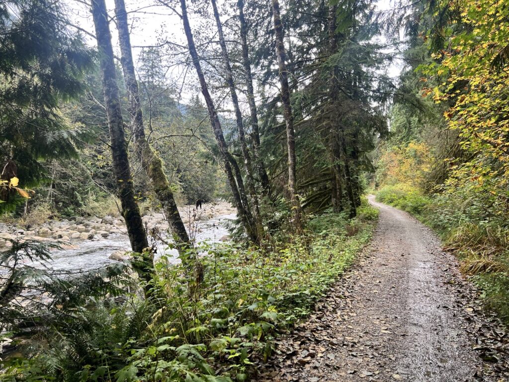
Crossing the Seymour River again, I connected with Fisherman’s Trail North. This section closely follows the river and offered much more visual reward. Although parts of the trail were under maintenance and sketchy for biking, it was still a welcome change from Spur 4.
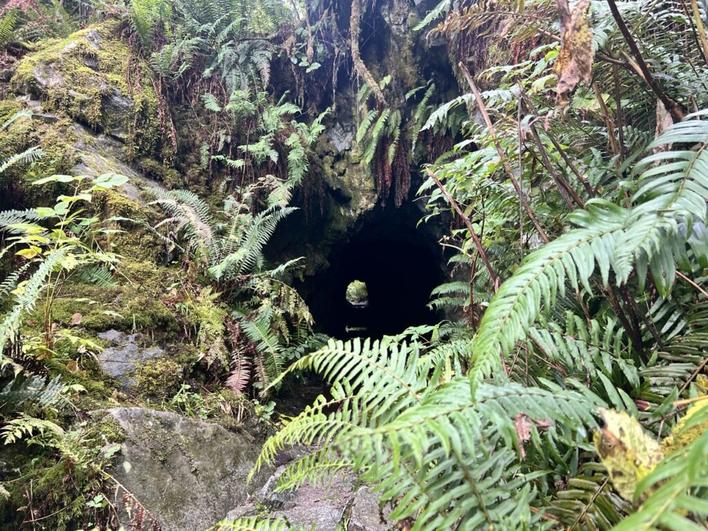
Along the way, I stumbled across a curious little tunnel—too small for a person, its purpose a mystery.
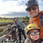
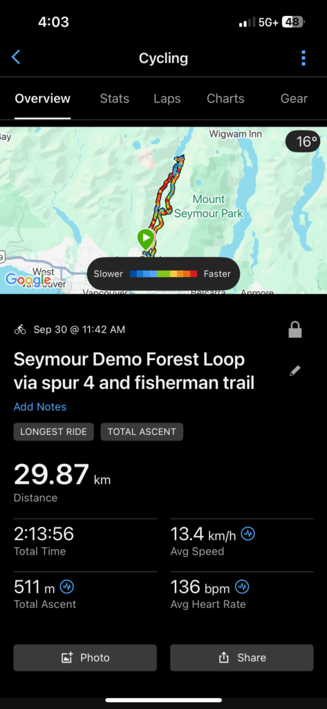
After a tough final climb on Twin Bridges Trail, I rolled back into the parking lot. In total, I logged nearly 30 km, 511 m of climbing, and a new set of biking PRs in just two hours.
It’s easy to see why cyclists love this area. Whether you’re after long, smooth stretches of pavement that will work your muscles better than totally flat dyke trails, beginner-friendly singletracks, or challenging loops for advanced riders, LSCR offers a little bit of everything.
Discover more from Outdoor Family
Subscribe to get the latest posts sent to your email.