- Parking:
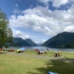
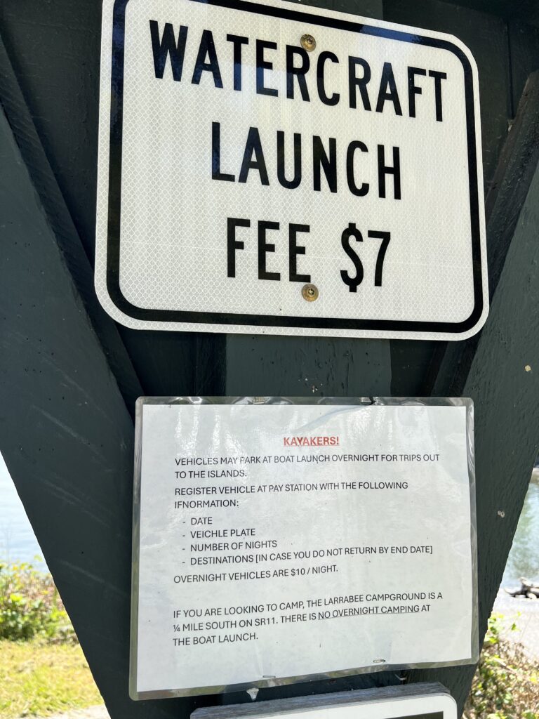
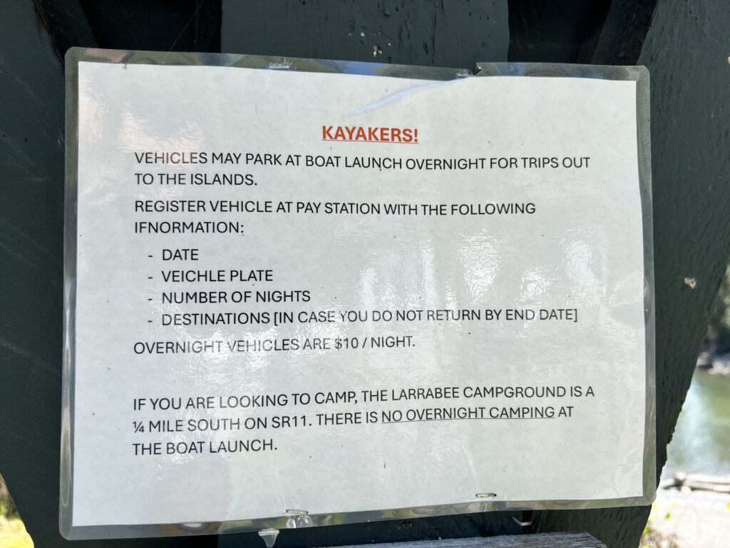
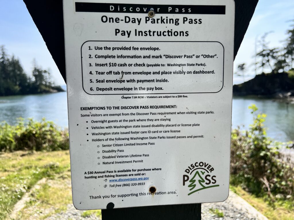
- Southern start: Larrabee State Park boat launch ($10 USD for Discover Pass day parking, $7 to launch all watercrafts including kayaks, canoes, and paddleboards)
- Northern start: end of Fairhaven Ave at “Chuckanut Pocket Estuary” at high tide >8ft
- Fairhaven start: Marine Park
- Launching: concrete boat ramp at Larrabee, mud flat at Chuckanut Pocket Estuary, and sandy beach at Fairhaven Marine Park
- Difficulty – intermediate due to ocean paddling conditions.
- Boat traffic – we encountered very few boats on our Friday paddle
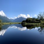
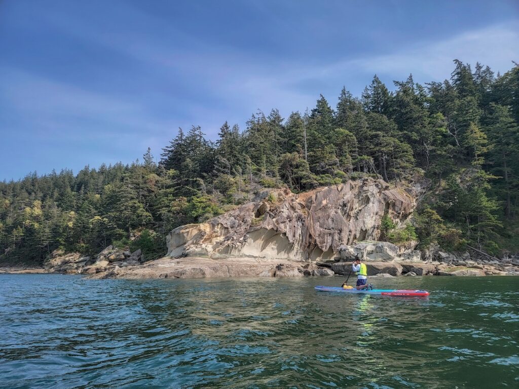
- View – beautiful open views of the ocean, dramatic sandstone formations reminescent of Gabriola Island, and pockets of shallow sandy beaches. It’s similar to paddling around Indian Arm or West Vancouver, but with noticeably less human development.
- Facilities – pit toilet at Larrabee boat launch, full washroom at Marine Park
- Overall score – 7/10
For a Gulf-island-esque paddle without having to take a ferry, paddling around Chuckanut Bay is one of Howard’s favorites within 1 hour drive of Vancouver. Considering how many places he has explored, that’s saying something.
Chuckanut Bay is located south of Bellingham and Fairhaven in Washington State, so crossing the USA border is a consideration. For being so close to a city, this area is remarkably well preserved with only light human development compared with Metro Vancouver. However, an active railway does run along the coast, providing a fun juxtaposition of industry and nature.
Howard led a small group of paddlers to Larrabee boat launch. The forecast called for a northly wind, so we wanted to launch south of Chuckanut Bay to take advantage of the tail wind on our return leg. A possible plan to launch further north from Fairhaven and paddle one way to Larrabee was briefly considered but abandoned for ease of coordination.
Parking at the boat launch would have cost $10, and each watercraft launch is an additional $7 USD. Bring exact change to place in an envelope and deposit box. This was quite steep and the odd sum of cash creates an additional hassle for those who don’t keep USD coins. We parked at a neighborhood gravel lot outside the park boundary instead. Campers at the Larrabee Campground do not have to pay extra for the parking but presumably watercraft launch is still $7.
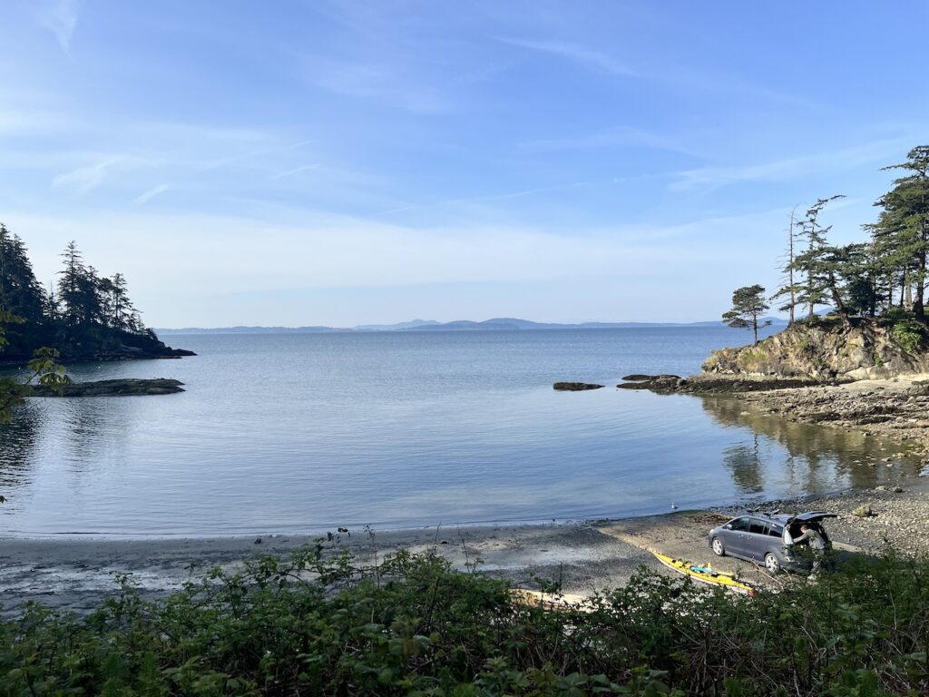

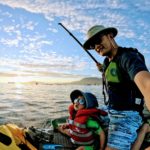
We launched onto a very calm cove around 10am, and made easy work of the calm morning.


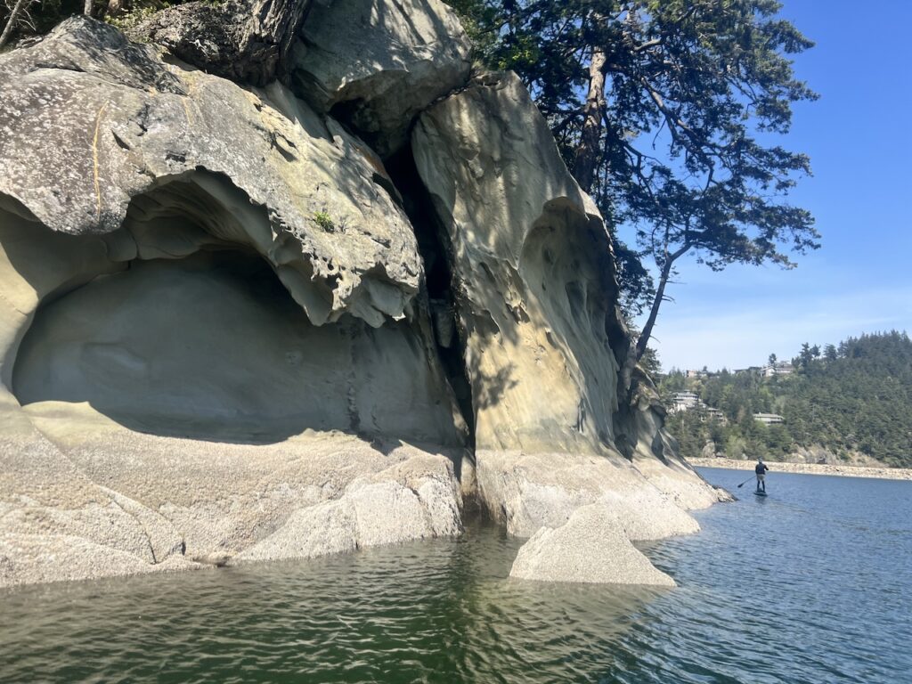
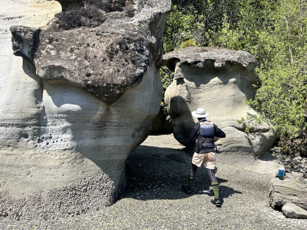
The sand stone formulations here were quite remarkable. They reminded me of the Malaspina Galleries at Gabriola Island, albeit a little less dramatic.

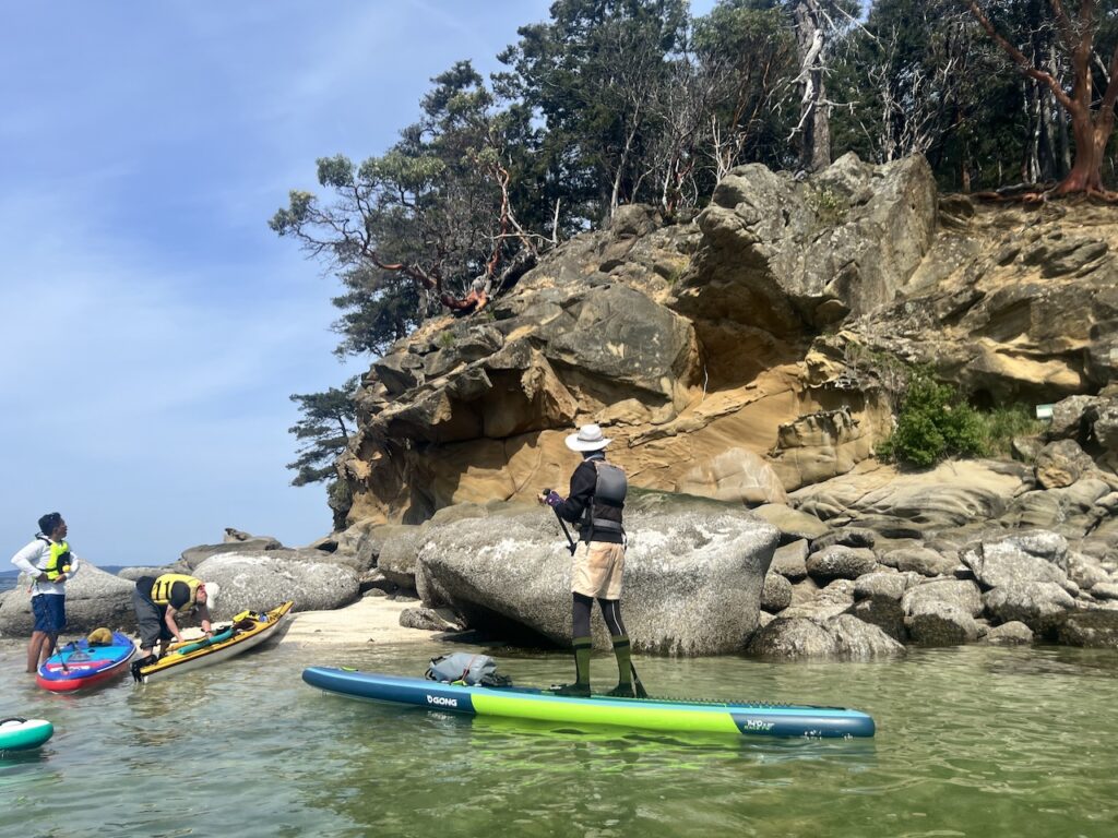
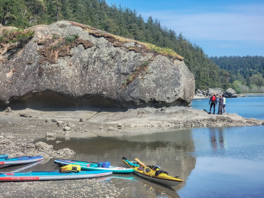
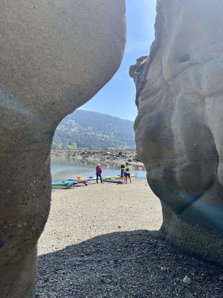
We made a snack stop at the beautiful Chuckanut Island Preserve, where a sand bank was just ankle-deep. Pockets of white sandy beach and clear translusent seawater made it feel like a world away.


We continued north and crossed under the railway trestle to explore the Chuckanut Pocket Estuary, which is also a good alternate launch site to bypass the State Park fees.
Here, more dramatic sandstone formed pillars for a short exploration. However, it’s private property above the high tide line.
After carefully crossing the railway, there’s a rough trail that takes you across the small penisula to the other, more exposed side.

After this, we took a final look around the tip of the penisula, where a small protected cove hosts plenty of small marine life, before straight-lining back to Larrabee. The promised northly wind did eventually pick up, kicking up some chop. I rode the ocean rodeo well, until a wave finally knocked me off balance and sent me in for a dip. Thankfully I was wearing my wetsuit and PFD, so I didn’t even feel cold. Self rescue back onto my paddleboard was easy.
Overall, Chuckanut bay is a neat destination for a day-paddle. With the white sandy beach at the Chuckanut Island, wave-sculpted sandstone formations, and relative wilderness, I can definitely see the appeal. However, the stress of border crossing, dealing with currency exchange and cellphone data-roaming are worth considering.
Stats: 14km paddle, moving time 3hours, total time 5 hours.

Discover more from Outdoor Family
Subscribe to get the latest posts sent to your email.