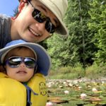
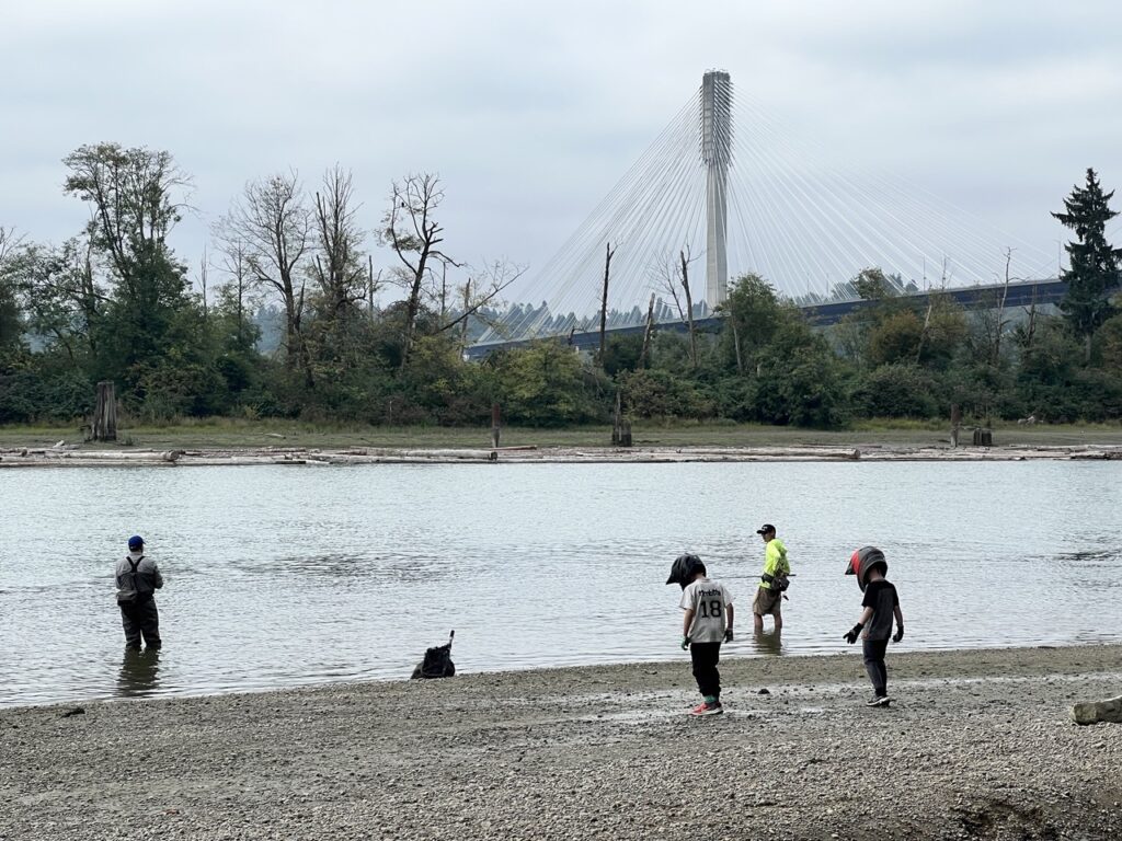
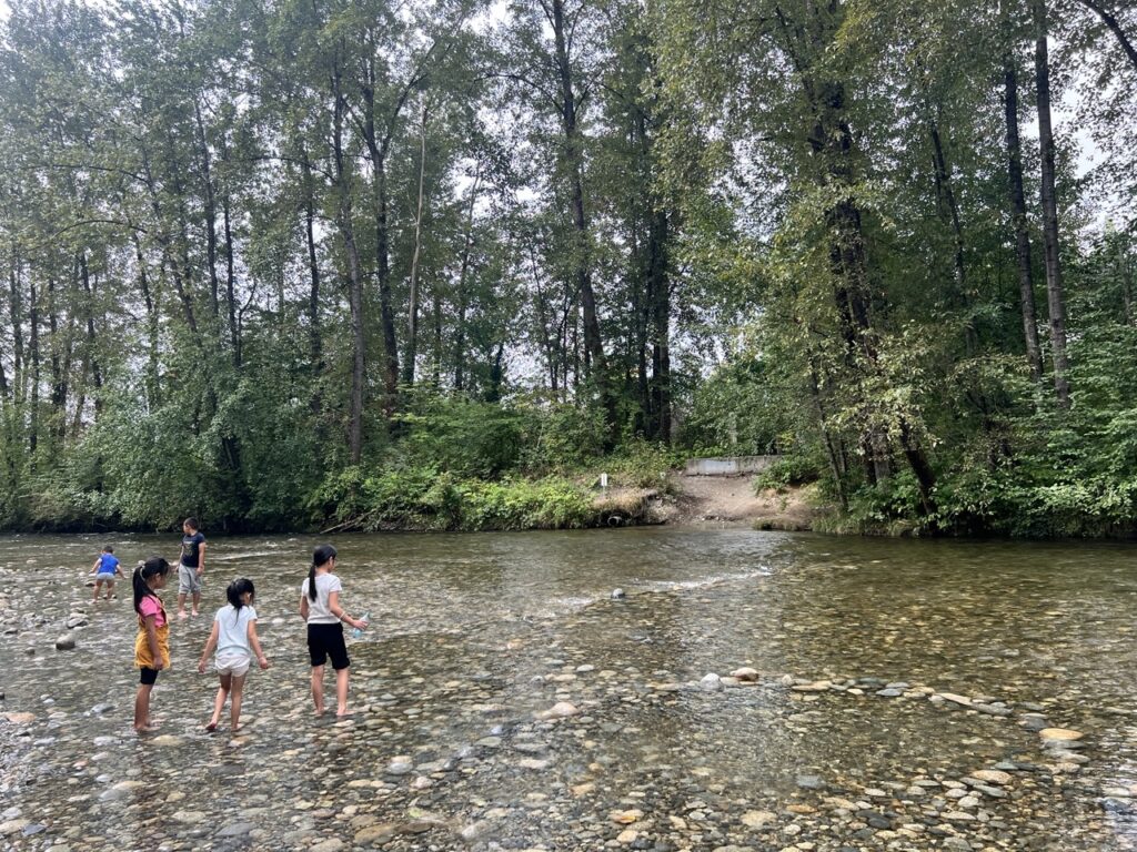
With its proximity to urban populations and many parks along the lower sections, the Coquitlam River is quite accessible year round. In the summer, families flock to the river to play in the shallow waters. In the fall, fishermen line the river to catch some salmon.
The higher sections of Coquitlam River is a described white water coirse. But from Lions Park to the river’s mouth, it seemed like a do-able class 0 to 1- beginner’s treadmill.
Coquitlam River is a dam-controlled, flash-flooding river. After a day or two of heavy rain, the river is known to flash up dramatically when the dam discharges. Fluctuations in the height of 2m or more within 24 hours had been documented on the water gauge.
In the typical dry summer, the river is basically empty and only ankle deep in some sections. Regardless, I came out with the family to attempt a summer run from Lions Park to Maquabeak Park, which is just downstream from where the Coquitlam drains into Fraser River.
Scouting the Coquitlam
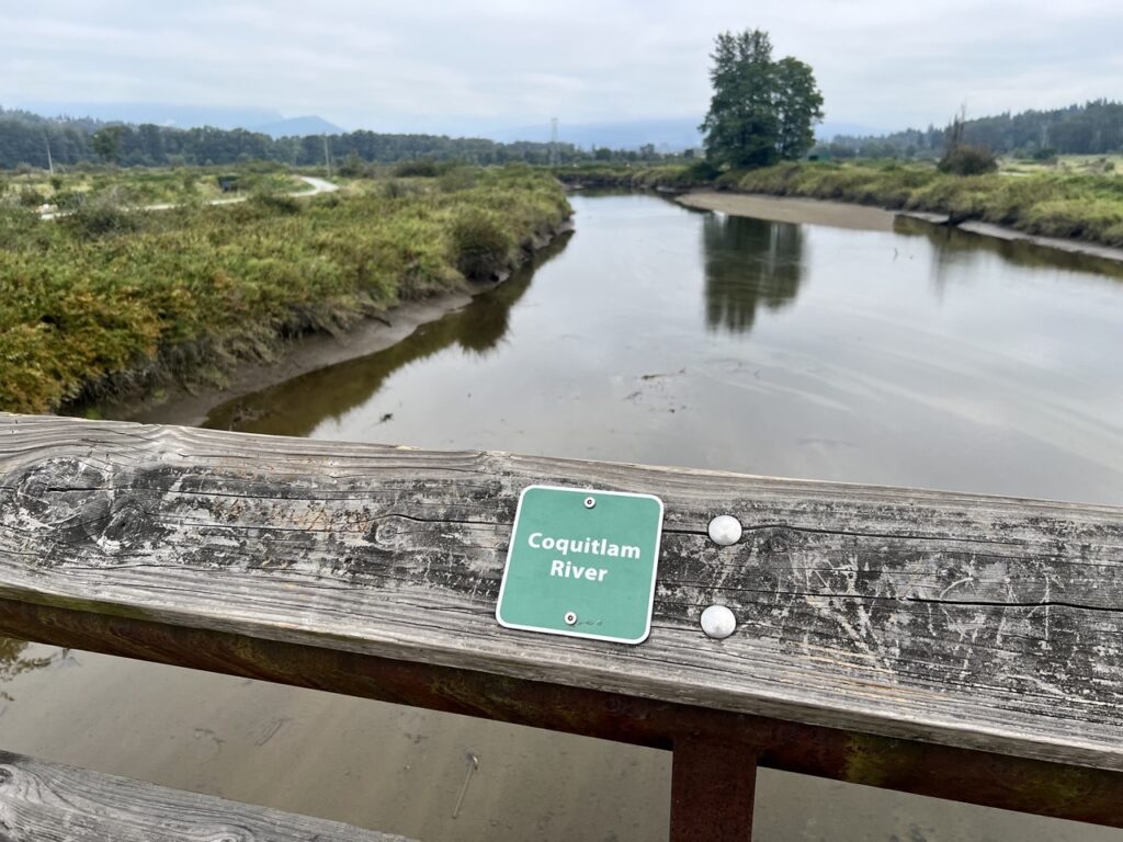
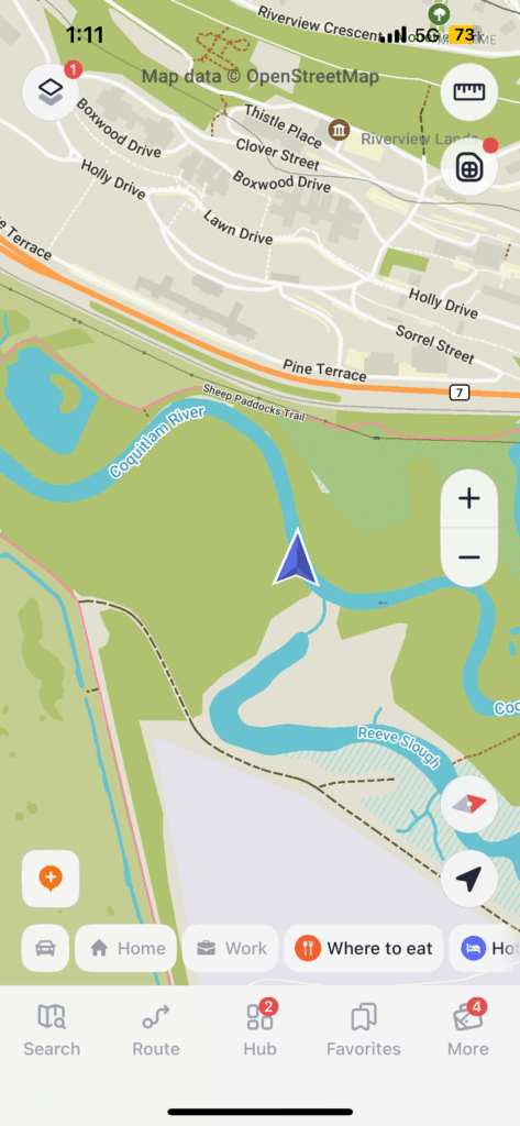
Since I haven’t actually scouted the river myself, and no one seems to have paddled this length of the river before, I traced my entire paddle route from Maquabeak to Lions Park with my two assistant scouts on our bikes.


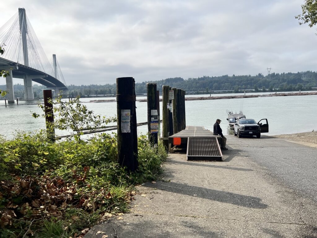
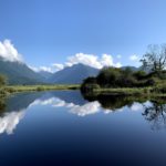
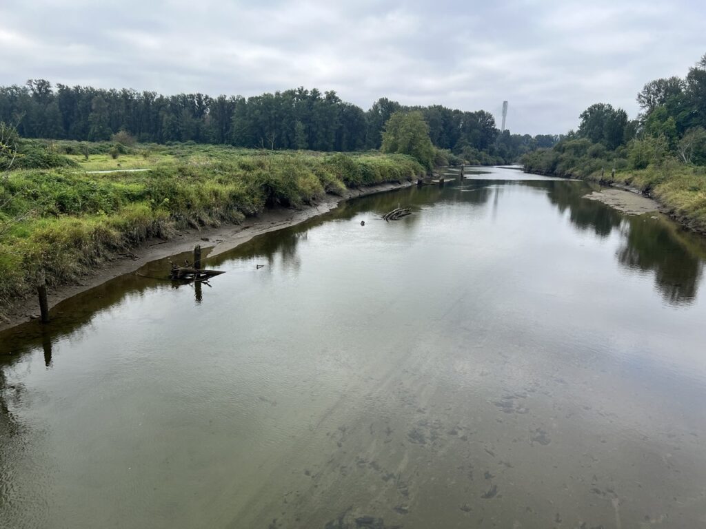
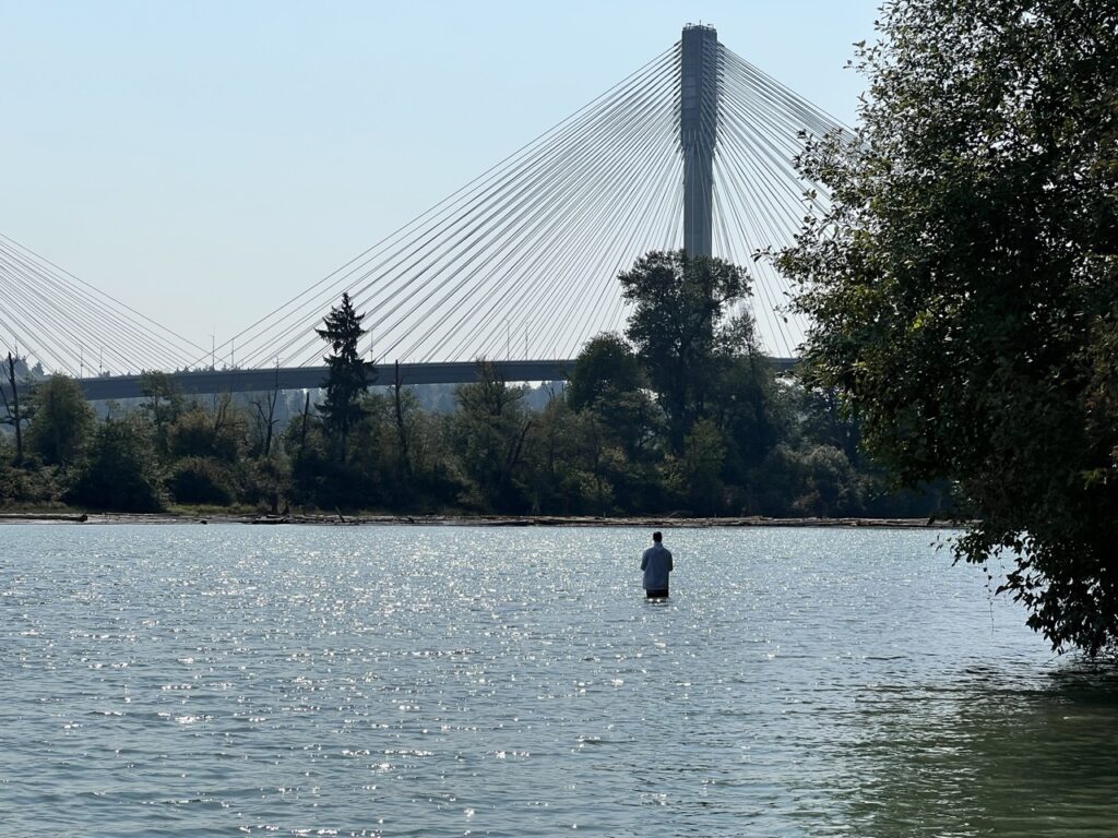
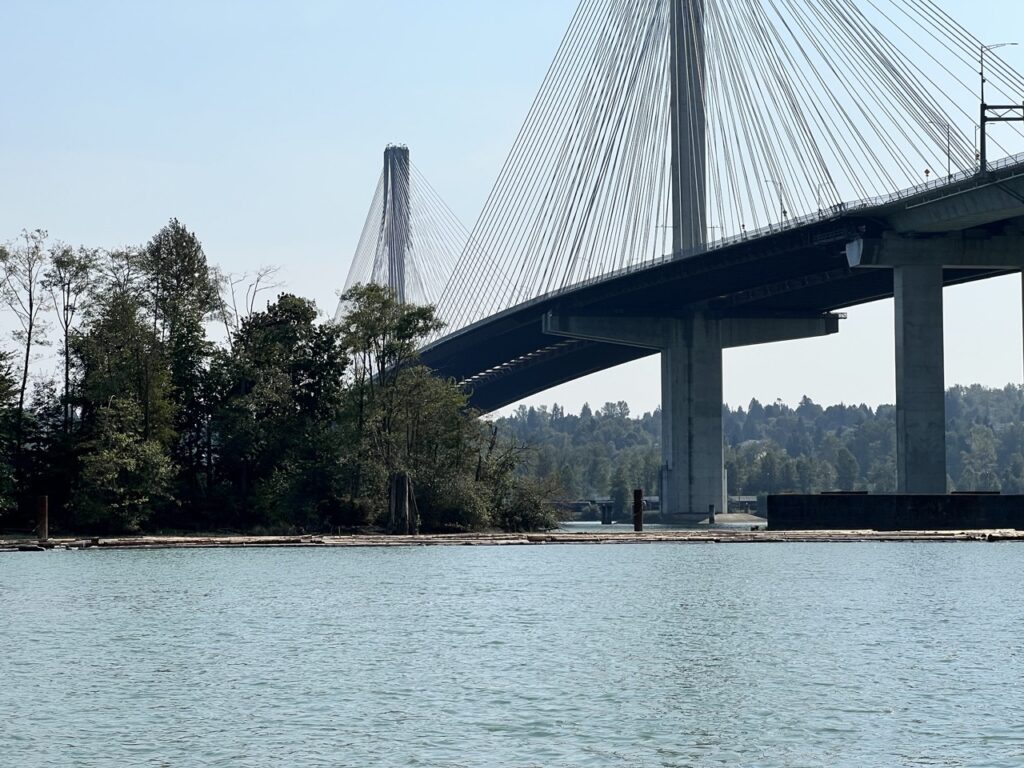
We followed the Maquabeak Park Connector trail, which branches off to give us full views of the Fraser. The Fraser was flowing steadily backwards with a flooding tide, with no log booms between the Coquitlam and our pullout boat launch. No tug boat or commercial traffic on this Labour Day either. Awesome!
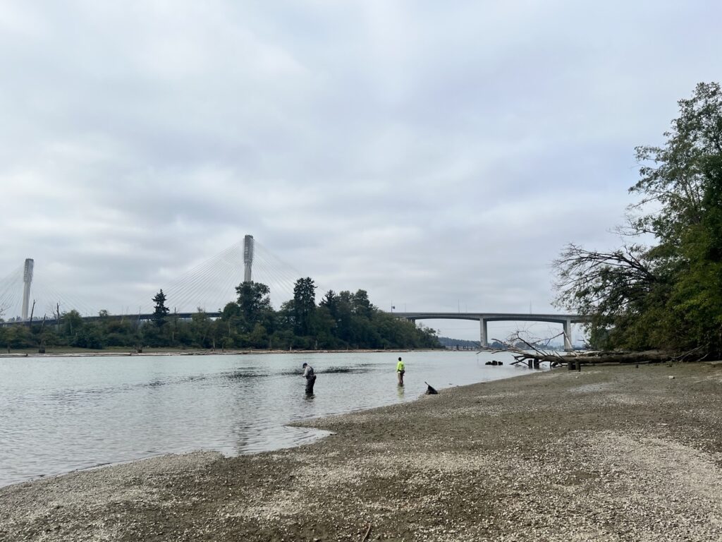
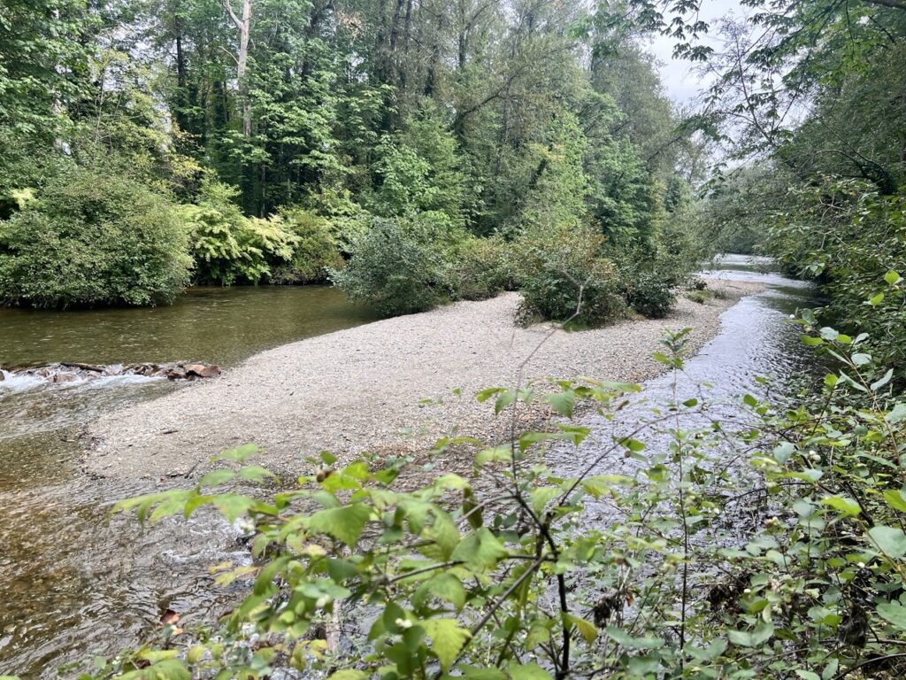
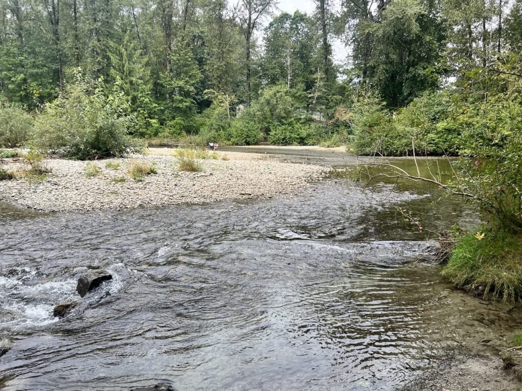
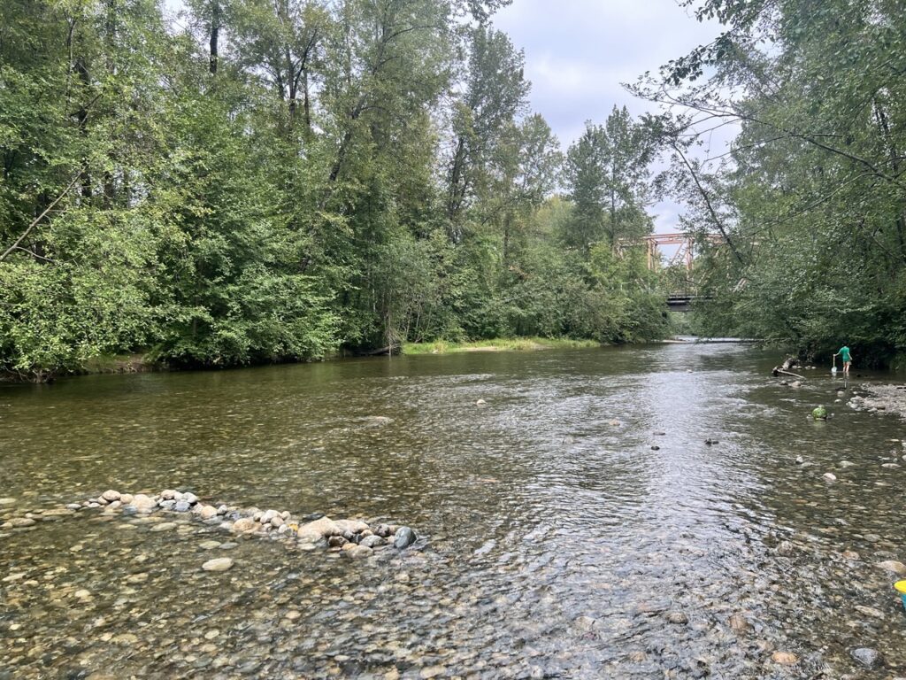
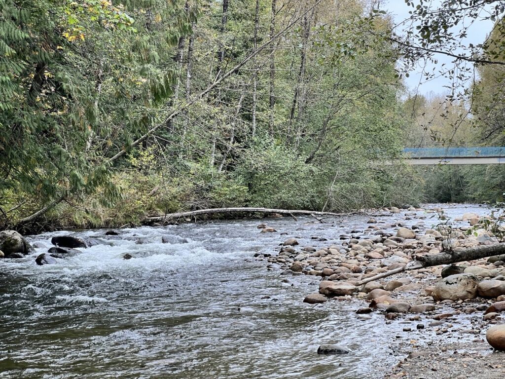
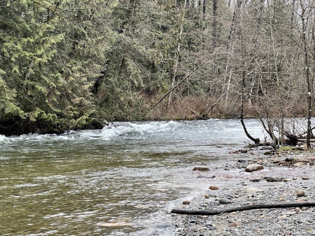
We biked through ƛ̓éxətəm Regional Park, with glimps of the Coquitlam. The river was flat and shallow, with no obstacles to speak of.
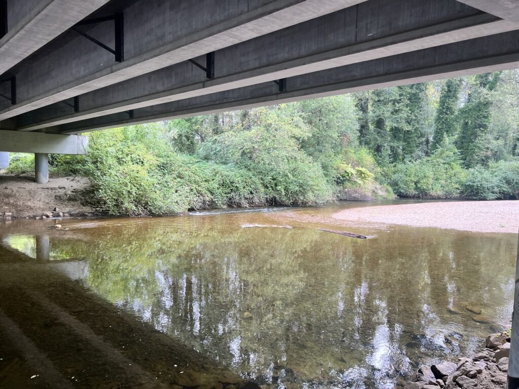
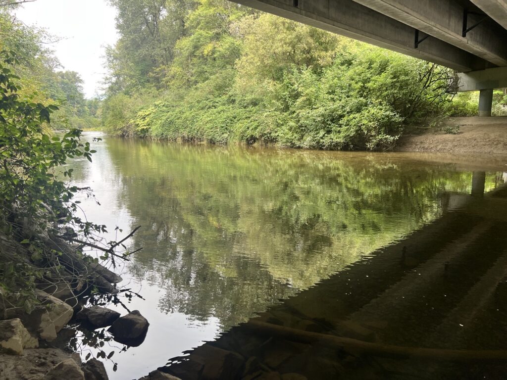
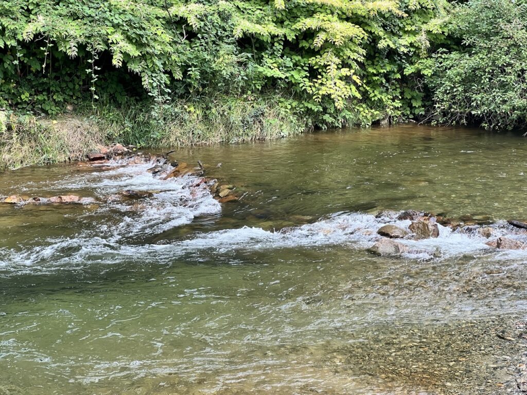
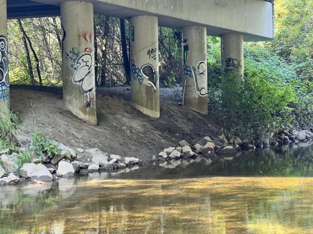
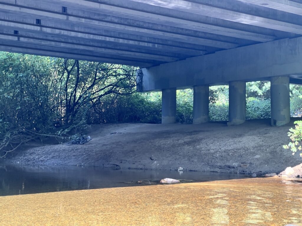
Then the multi-use trail deviates from the river for about 1km until the Red Bridge. Here the river became much more lively, with some ripples and baby rapids. Nothing a little manuvering can’t handle.
We then biked along the trails around Gates Park and poked our heads out to the river as much as we can manage until we got to Lions Park. We saw some narrow points and a few eddies, but nothing deal breaking. The main obstacle, I thought, would be how shallow some sections are.
Or so I thought.
Paddling the Coquitlam
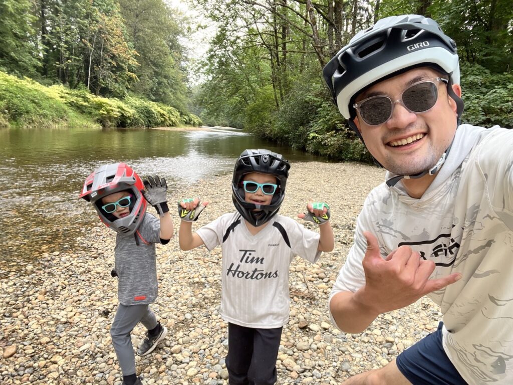
As I switched out of biking and started prepping my paddleboard, some park-goers were astonished. He warned me about how they had to give up tubing due to how shallow the water is. “Just be careful with the rocks!”
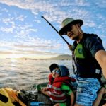
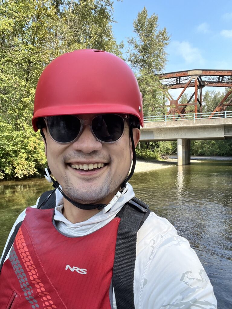
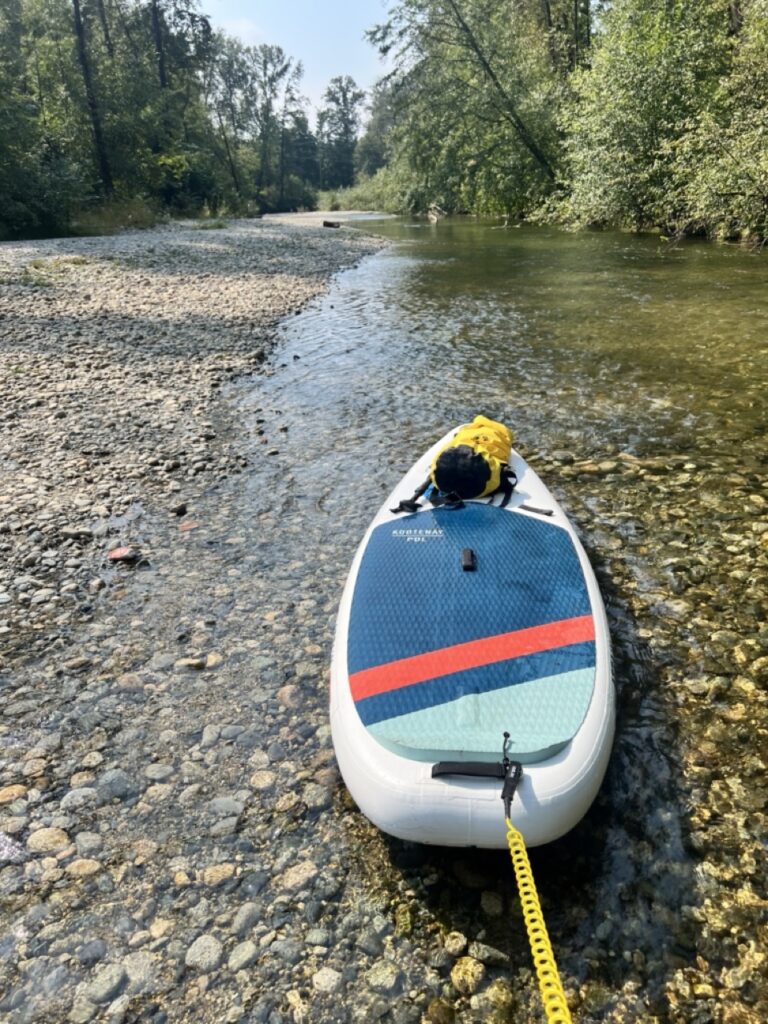
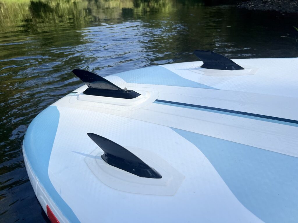
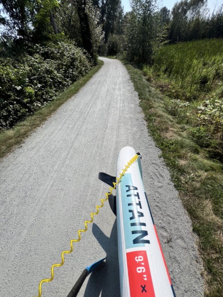
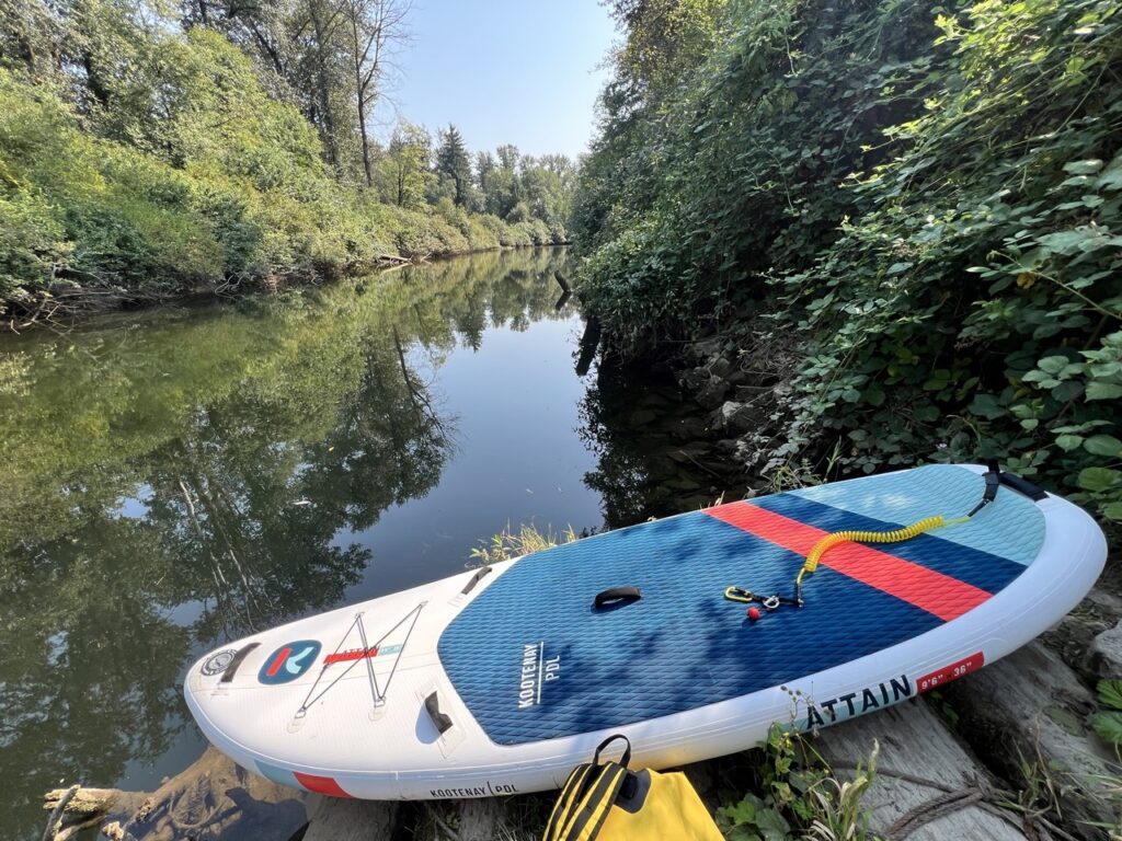
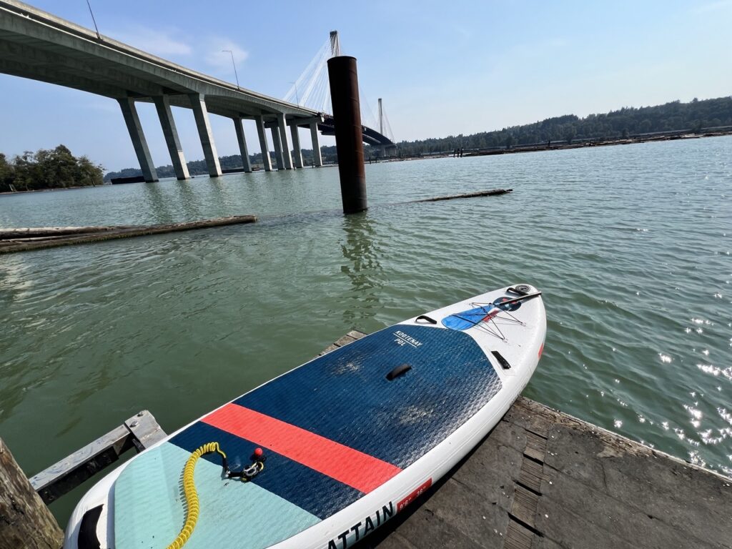
I donned my helmet, water socks, neoprene booties (no wet suit because it was hot and the water was very much warm enough), and walked past the picnicking families into the river. I only put on my two lateral 2-inch fins and left the center box empty. I didn’t linger because I was getting self conscious, and I just found the deepest line and paddled away from the crowd.
The Attain felt basically like an inner tube without the centre fin. I was basically turning on the stop for the first 30 seconds. I really had to exaggerate the nose-draw with every paddle to go straight. Once I got a hang of it, it was a lot of fun paddling down this sleepy river.
I quickly came up to the several mini-hazards I saw around Gates Park when I was scouting, and I aced them all. Didn’t need to portage where I thought I might. Avoided a log jam like a champ. Overall I felt like I knew what I was doing.
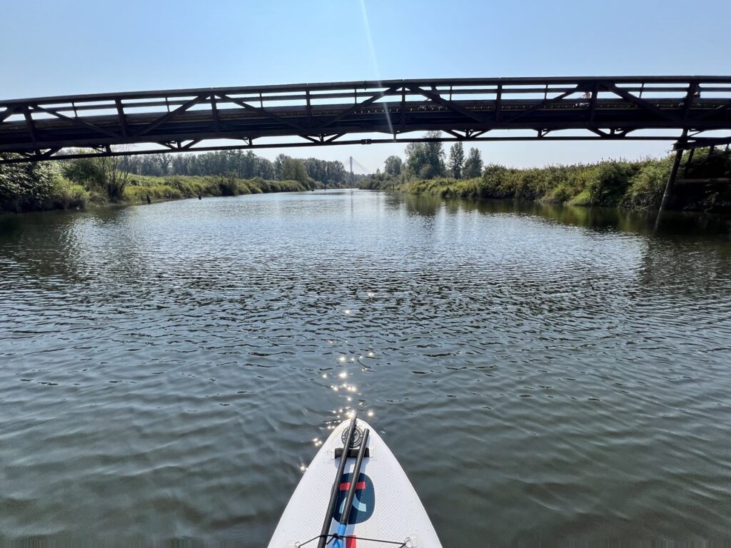
Under the Red Bridge, a few people were letting their dogs swim in the river. One of the dogs saw me and chased after my board. Sweeper on the left, dog on the right, I managed to manoeuvre just enough to turn and avoid both of them. “Sorry, he thought you were a big fish!” the dog owner who tried and failed to call the dog back yelled apologetically as I paddle past.
Just as I was enjoying myself and mentally preparing to leave the park-goers behind, I suddenly came face to face with an unscoutable and unavoidable obstacle.
The downed tree
Exactly where the trail deviated from the river, leading to my only major blind-spot of the entire scouting exercise, a fallen tree crossed the entire width of the river!
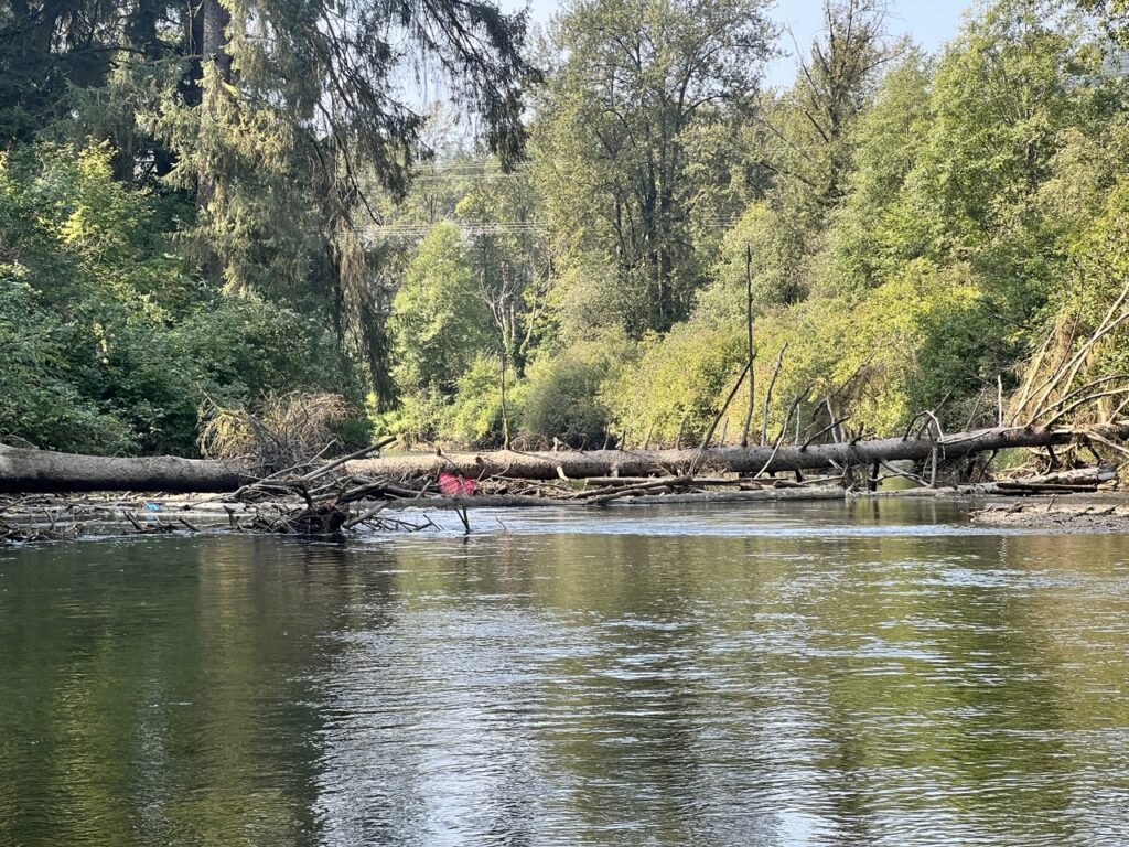
Approximate location of the downed tree: 49°14’46.9″N 122°48’00.5″W
Once I realized what it was, I quickly pulled to the nearest mud bank to regroup and think. The tree is big and even climbing over it on dry land while hiking would be a challenge. Doing so through the log jam in front of it, with river flowing and everything slippery and wet, while trying to hoist a 30lb board over? It’s impossible.
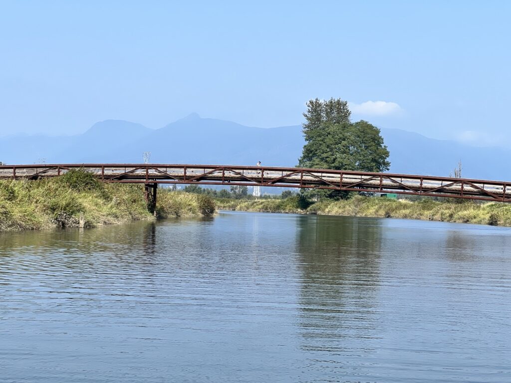
I looked around. Dense thorny blackberry bushes all around. No trails nearby. The only thing to do? Paddle back upstream and pull out from the Red Bridge.
With the decision made, I put on my long fin. I was very glad to have brought it. My original intent was to use it in the lower flat water sections and on the Fraser, since paddling straight would be much more efficient and doing nose draw strokes all the time.
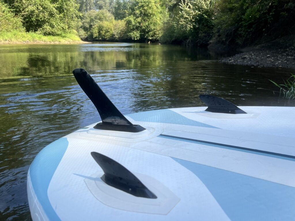
With more efficient paddles, I overcome 90% the river flow. The remaining 10% were shallow enough for me to hike against the current. I backtracked upstream for about 700m and got back to the Red Bridge.
Reflecting back, I was thankful the water was low and flowing slowly. If I came upon this tree in the winter when the water is flowing 10 times stronger and too high to leave any beachable banks, I’m not sure what I would do. Probably hang onto the foliage and scramble up, then bushwhack out of there with my paddle, or call for motorized rescue… What if it happened in the backcountry where help is at least hours away?
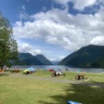
For the time being, before someone spends considerable resources to clear the downed tree, the last pull-out location is the Red Bridge. The river left gets you close to a parking lot.
I confirmed with Tina that they were still happily eating lunch in Coquitlam, so I continued with my adventure.
The re-put in
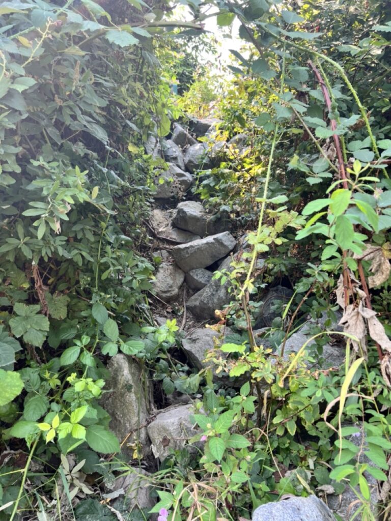
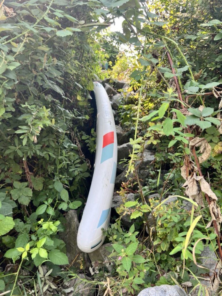
I portaged 1km with my river board, which is about 30lb. I missed my shoulder strap.
Many people biked past me and gave me funny looks, but no one said anything.
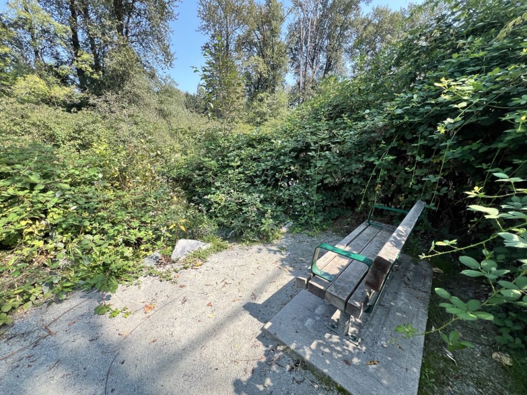
I found a small opening in the bushes near this bench, which seemed to be the only access to the river. It’s quite overgrown with wild blackberry with gnarly thorns, but I had no other options.
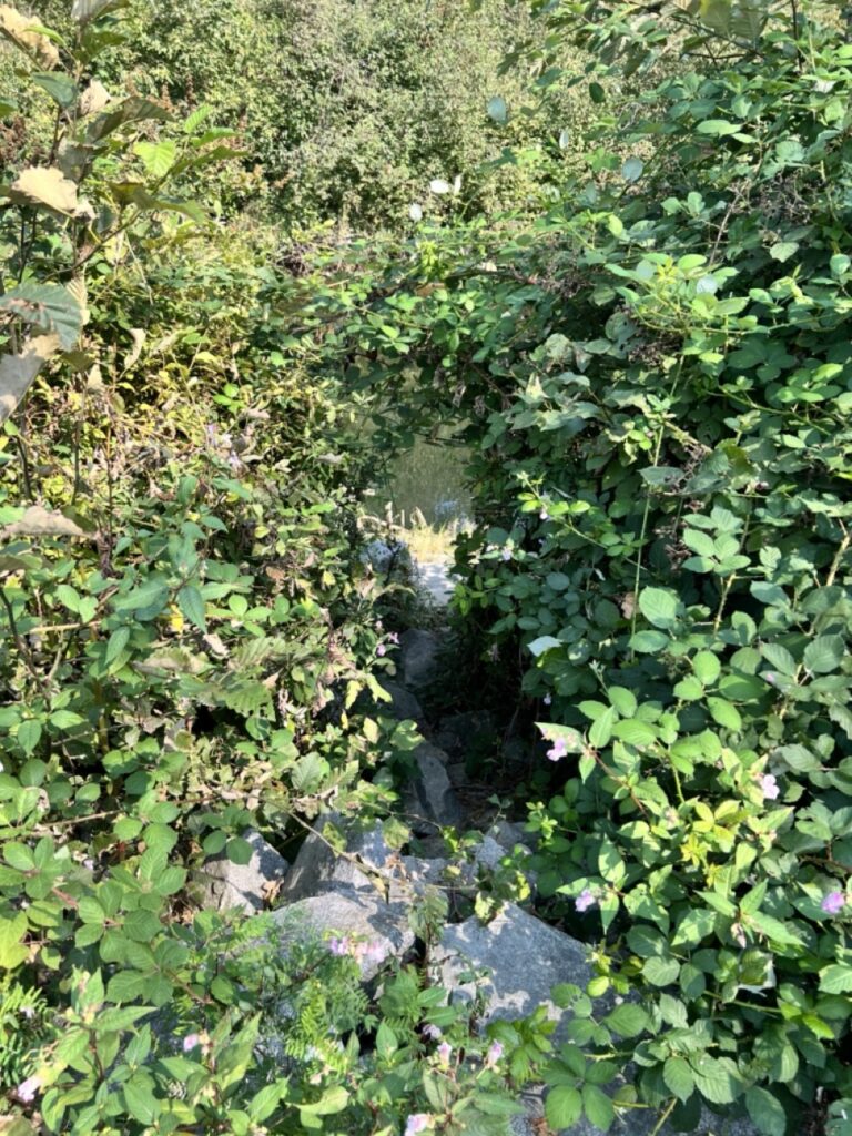
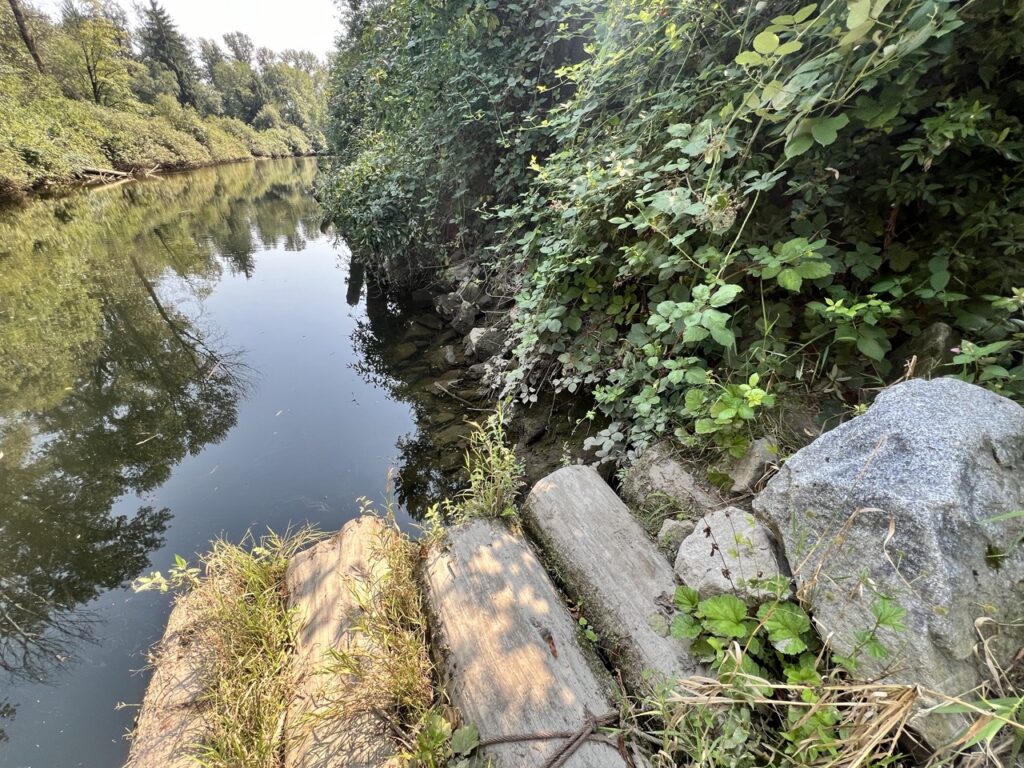
I pushed through and was very happy to be back on the water.
The remaining paddle was flat and frankly a bit monotonous especially if compared to its neighbor, Alouette River. The Fraser was still in flooding tide, so I was paddling against current. Traffic noise from the highway nearby was present throughout.
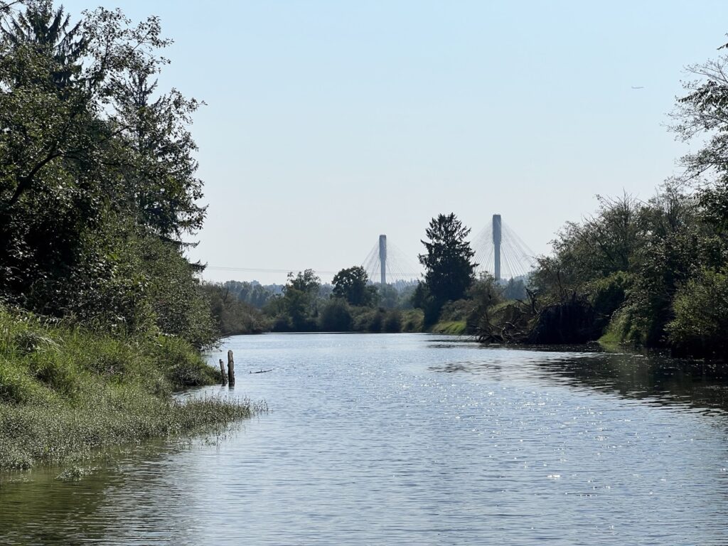
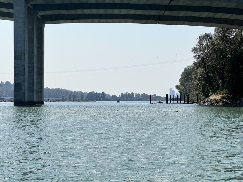
I exited the Coquitlam onto the Fraser. Powerboats and Jet skis are out in force now. I fought a little bit more headwind and tidal current, but thankfully Maquabeak boat launch was only 800m away.
All in all, with the newly-discovered downed tree situation, it’s not worth the trouble of portaging 1km then squeezing through the blackberry tunnel to do the last little part of the Coquitlam River if you came from higher up. If you really wanted to do this lower section, a much more reasonable approach would be to launch from Maquabeak, paddle up the Coquitlam until you can’t go any more, then paddle back. This way, you can also choose a more efficient watercraft like a touring board, since this is a barely flowing river.
When the water is higher, the accessibility of the Coquitlam River around Lions Park provides some interesting park-and-play white water opportunities or even short runs. I might be back with my whitewater crew.
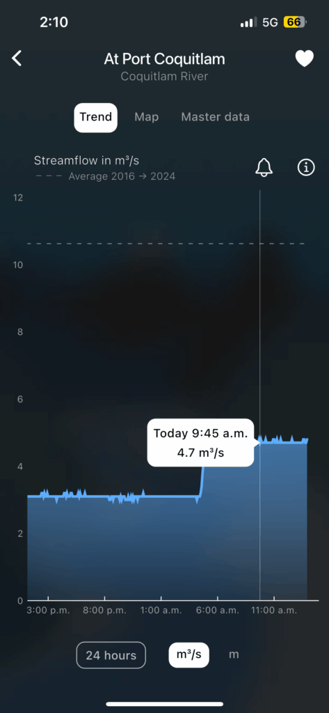
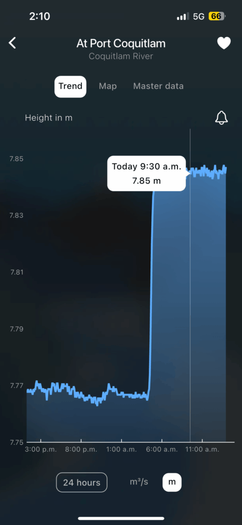
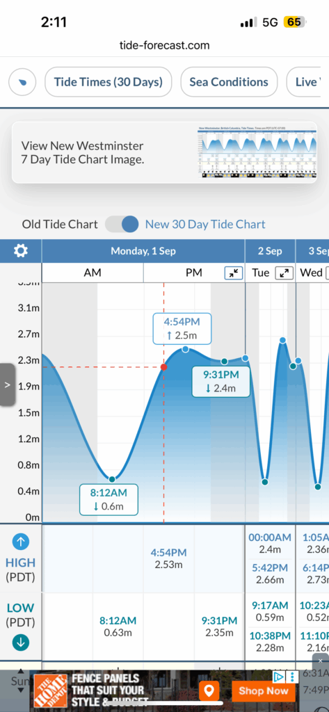
River data for today
Sept 1, 2025.
Height: 7.85m, discharge 4.7 cms. Tide at New Westminster, about 2.3m
Some reference videos and pictures for guestimating what the river might look like:
Dec 15, 2024.
Location: just above Lions Park.
Height: 8.08m, discharge: 10.3cms
Sep 30, 2024.
Location: downstream from the Blue Bridge
Height: 7.8m, discharge: 4.1cms
Feb 4, 2023
Location: downstream from Blue Bridge
Height 8.4m, discharge: 31cms
Discover more from Outdoor Family
Subscribe to get the latest posts sent to your email.