- Parking:
- Launching
- Public boat ramp at Marina Park, Public dock at Bedford Landing, or sandy beach at Brae Island Regional Park
- Difficulty – calm, sheltered branch of Fraser River with slow current, which can get much stronger during spring freshet. The river is still tidal here, and it’s much easier to visit during rising or slack tide.
- Boat traffic – motor boats allowed with max 10 knots. Only ran into 1 boat during my 2 hour paddle.
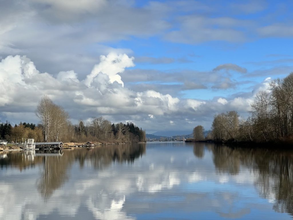
- View – nice scenic views of woods, historic buildings, and Sumas and the Cascade Mountains to the east
- Other paddle highlights – if you came with friends, they can walk/bike along the Fort to Fort Trail or in Brae Island Regional Park and play hide and seek with you
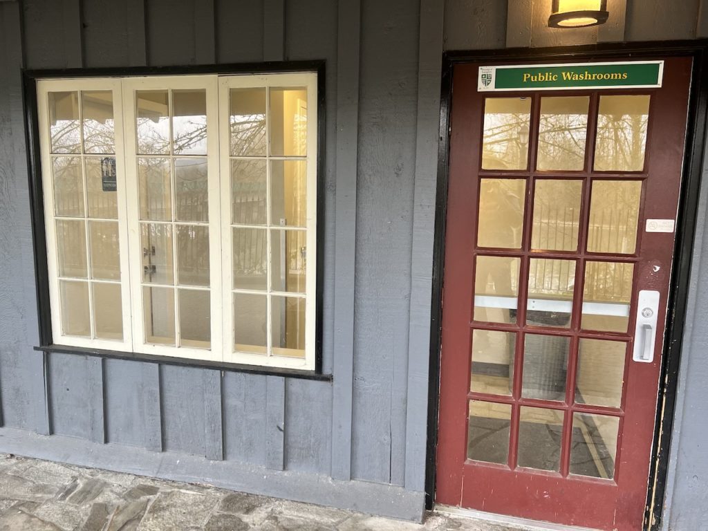
- Facilities – public washroom in the prominent red building facing the river, lots of shopping and points of interest in Fort Langley
- Overall score – 7/10
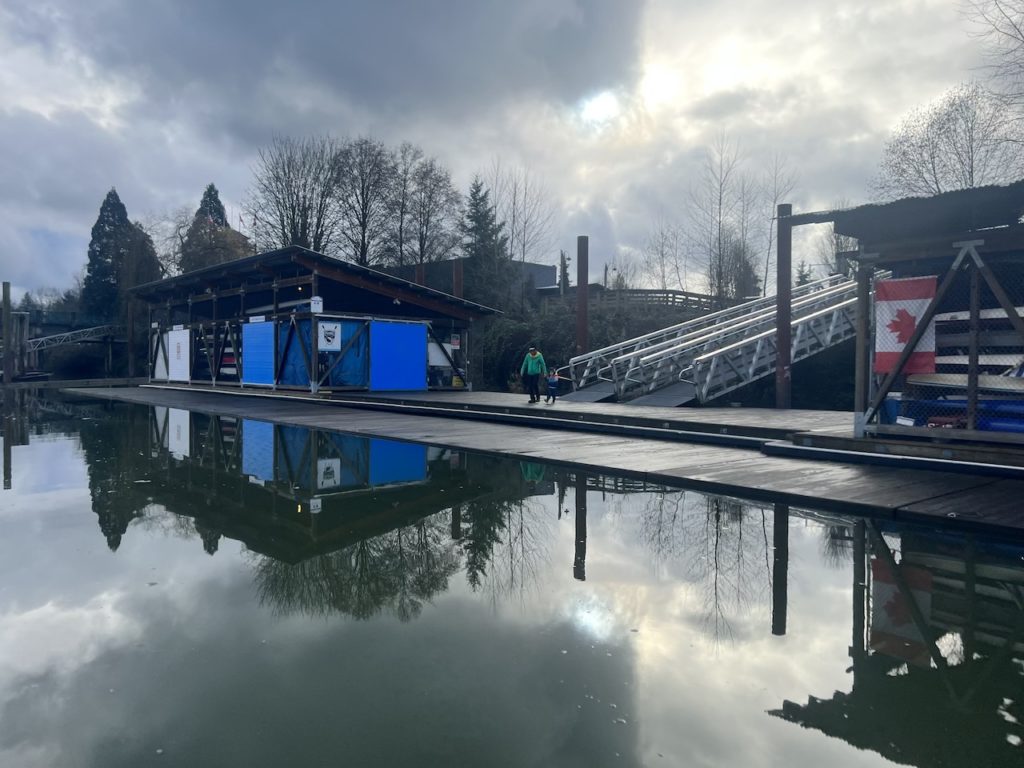
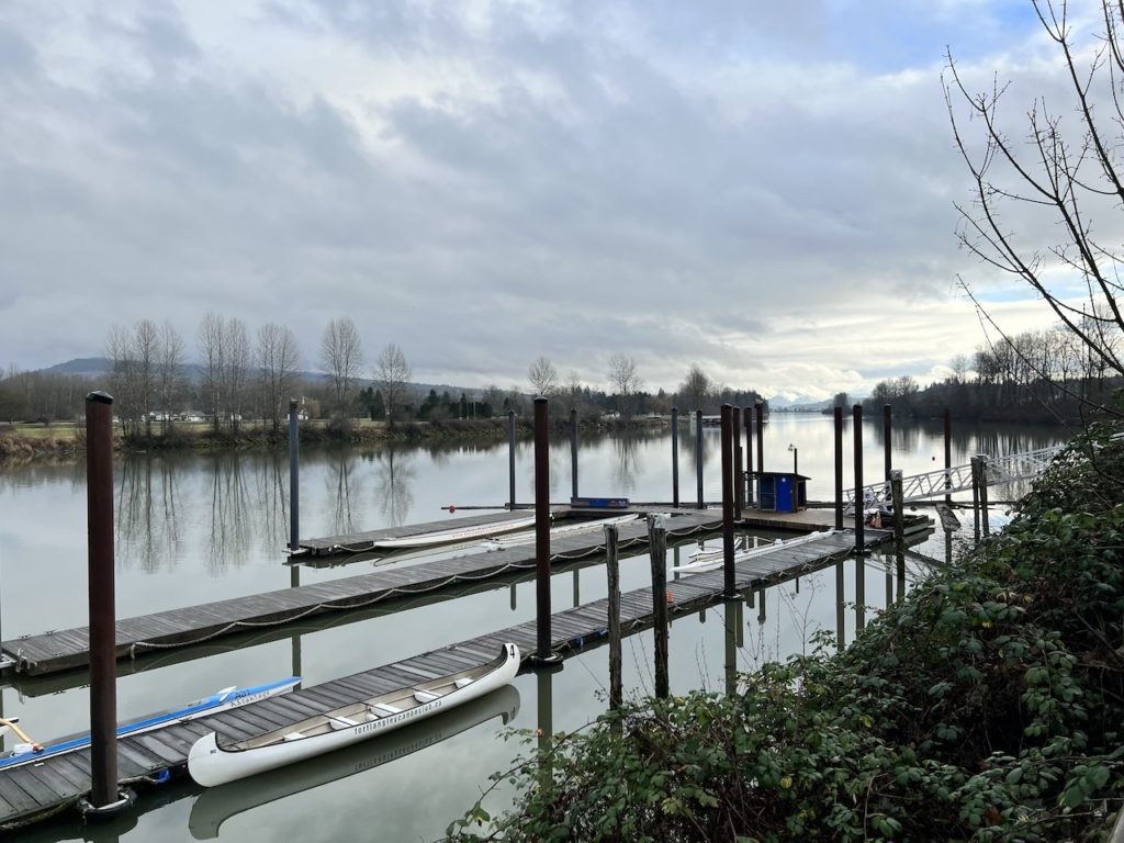
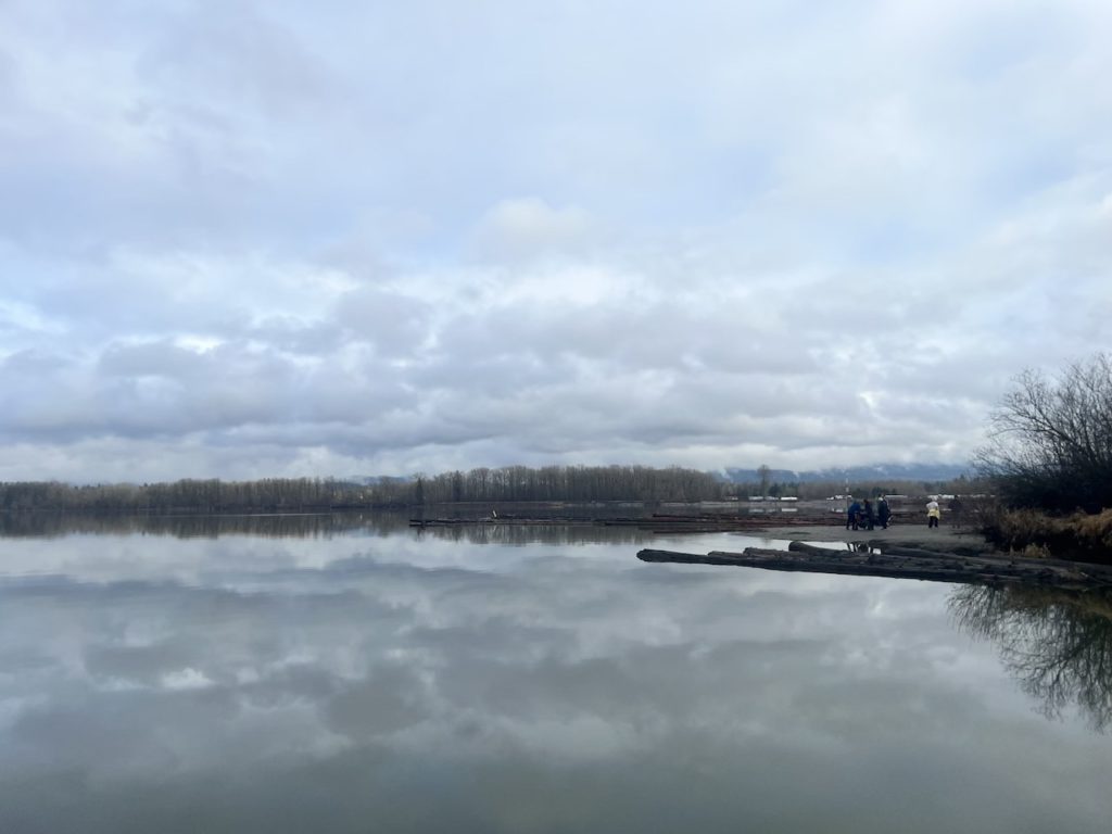
Bedford Channel is a small side channel of the Fraser River, sheltered by McMillan Island. It’s scenic, usually calm, and surrounded by historic Fort Langley and all the intrigue it offers. It’s also home to Fort Langley Canoe Club (FLCC), which operate a few private docks.
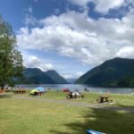
For non-members, there are three public launch options to choose from. The Marina Park has free unlimited parking and a public boat ramp.
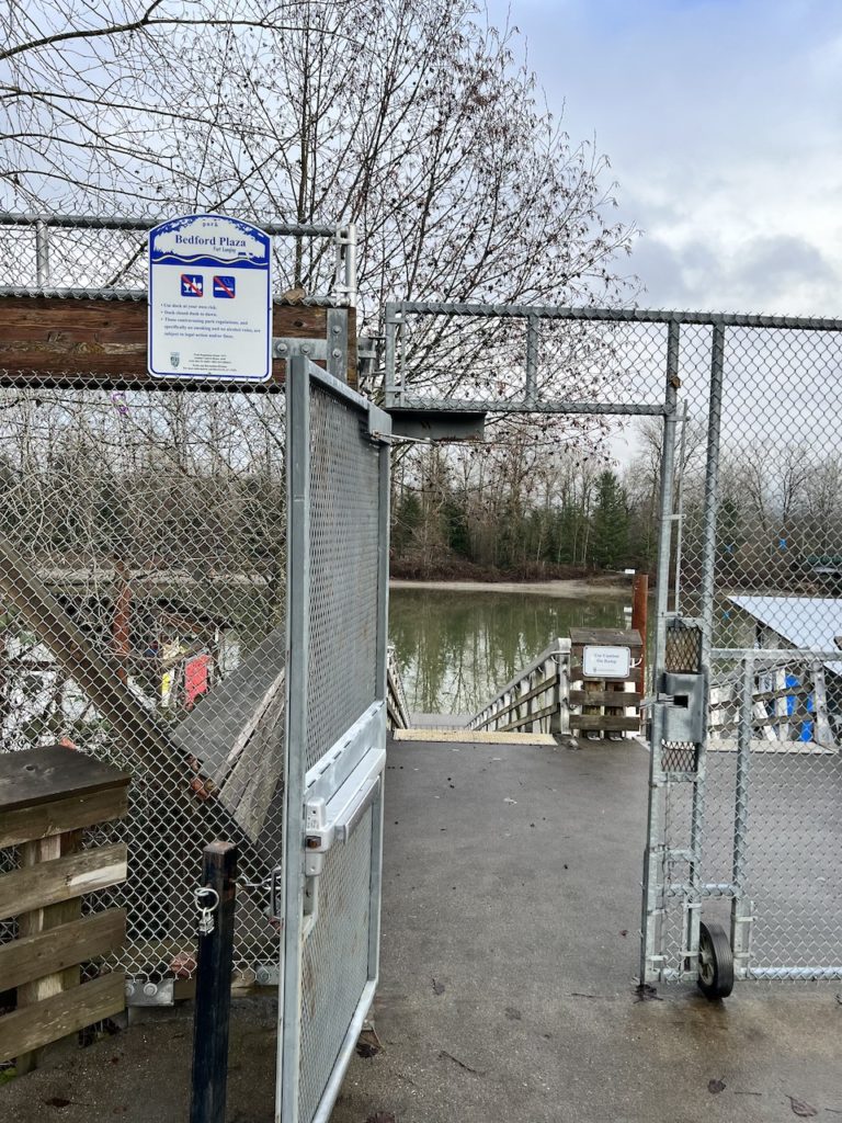
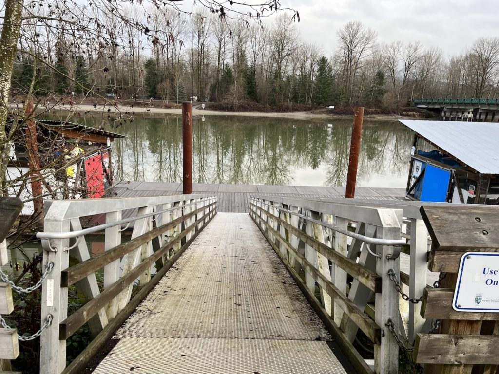
On the other side of Glover Road from Bedford Plaza, there’s a public dock for dry launch.
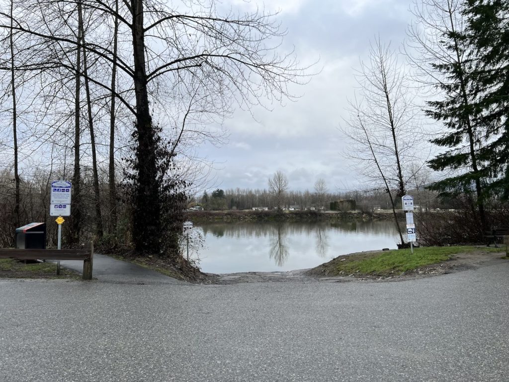
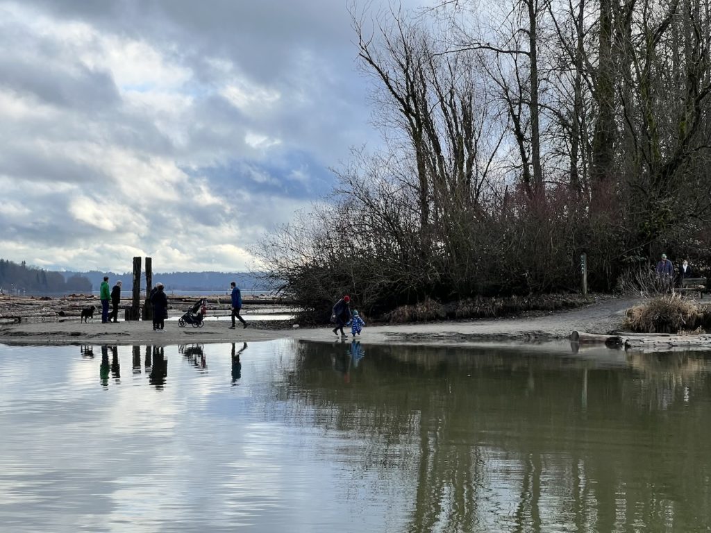
On the island side of the channel, one can also park at Brae Island Regional Park and launch from a nearby sandy beach. That’s also where Tina led the boys and some friends on a pleasant morning walk.

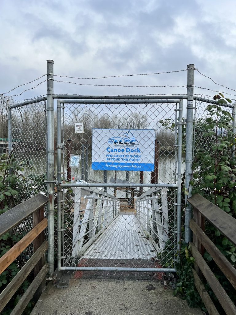
The other docks are private and closed to the public.
A very clean public washroom is also available at the Bedford Plaza building facing the river.
As the last paddle of the year, the weather was very mild and overcast. I met some friendly members of the FLCC, who explained that due to insurance reasons, they are not allowed to let the public use their docks. They also informed me that Bedford Channel is paddle-able year round, although at the peak of spring freshet (strong river flow due to snow melt) they do close the docks soemtimes.
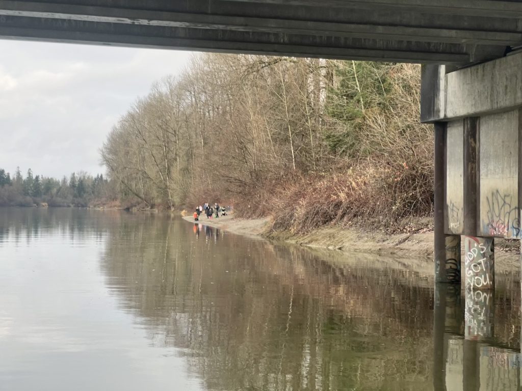
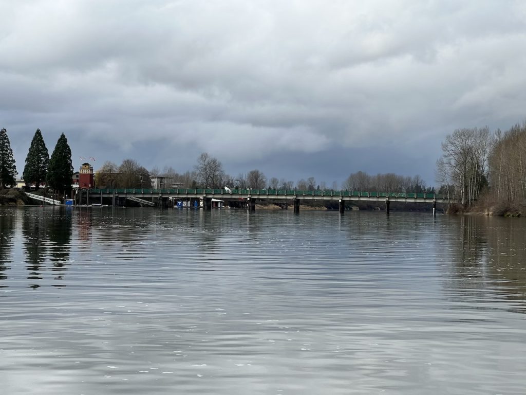
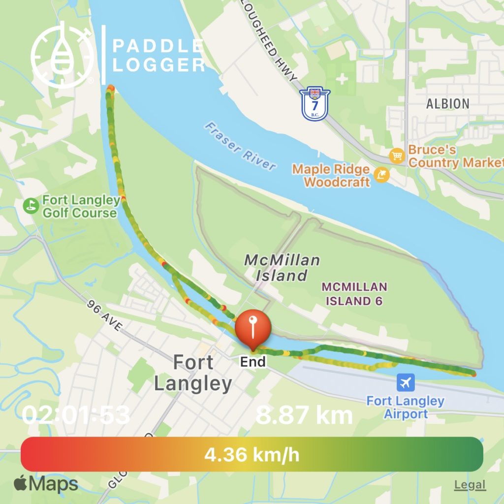
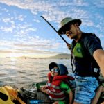
I parked in Marina Park and walked a short distance to launch from the boat launch. I headed west (downstream) and crossed under the bridge to meet up with Tina’s crew. A group of intrepid ladies with matching pink toques went for a polar bear dip to welcome the near year. The water looked muddy and of questionable quality though.
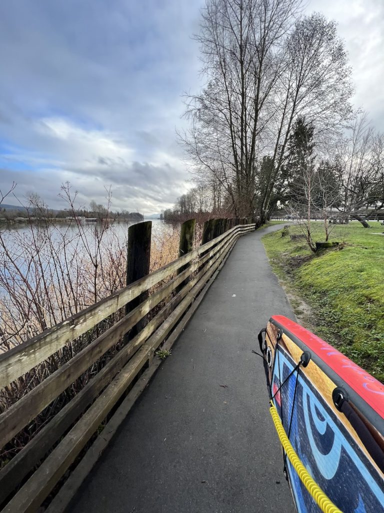
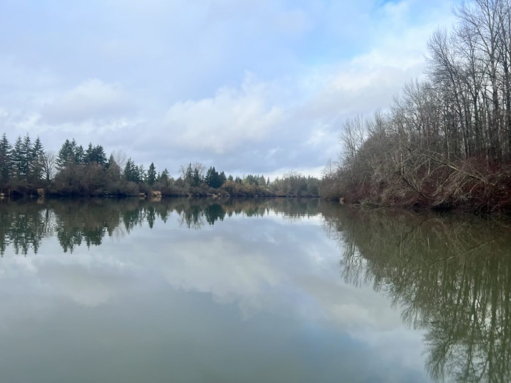


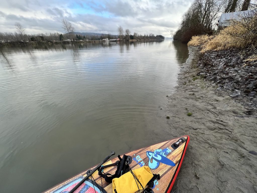
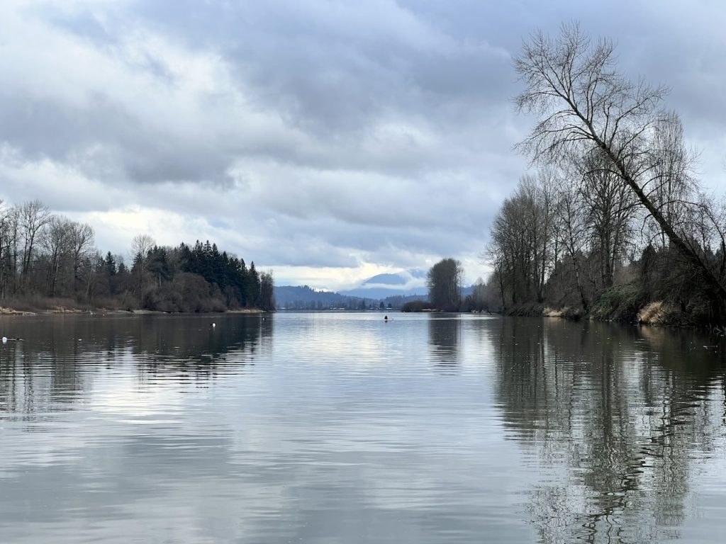
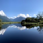
Although the river looked glassy, there was a slight current the helped along. Soon I reached the end of McMillan Island and the view opened up to reveal the the moutain ranges in the north.

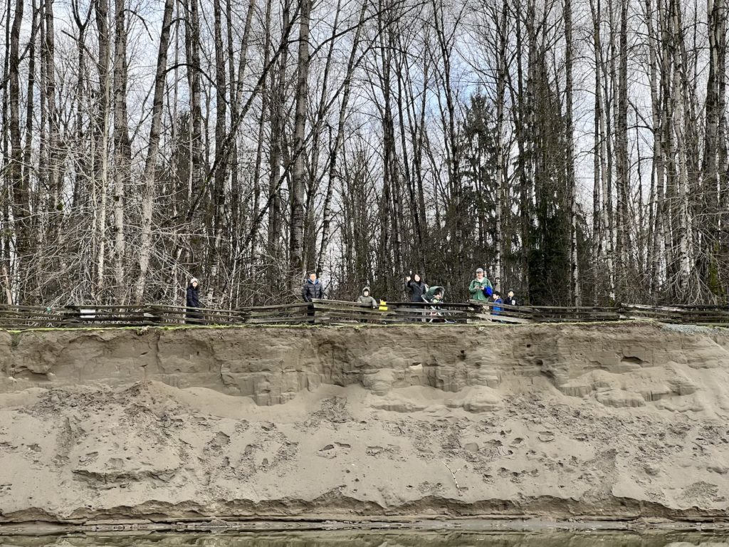
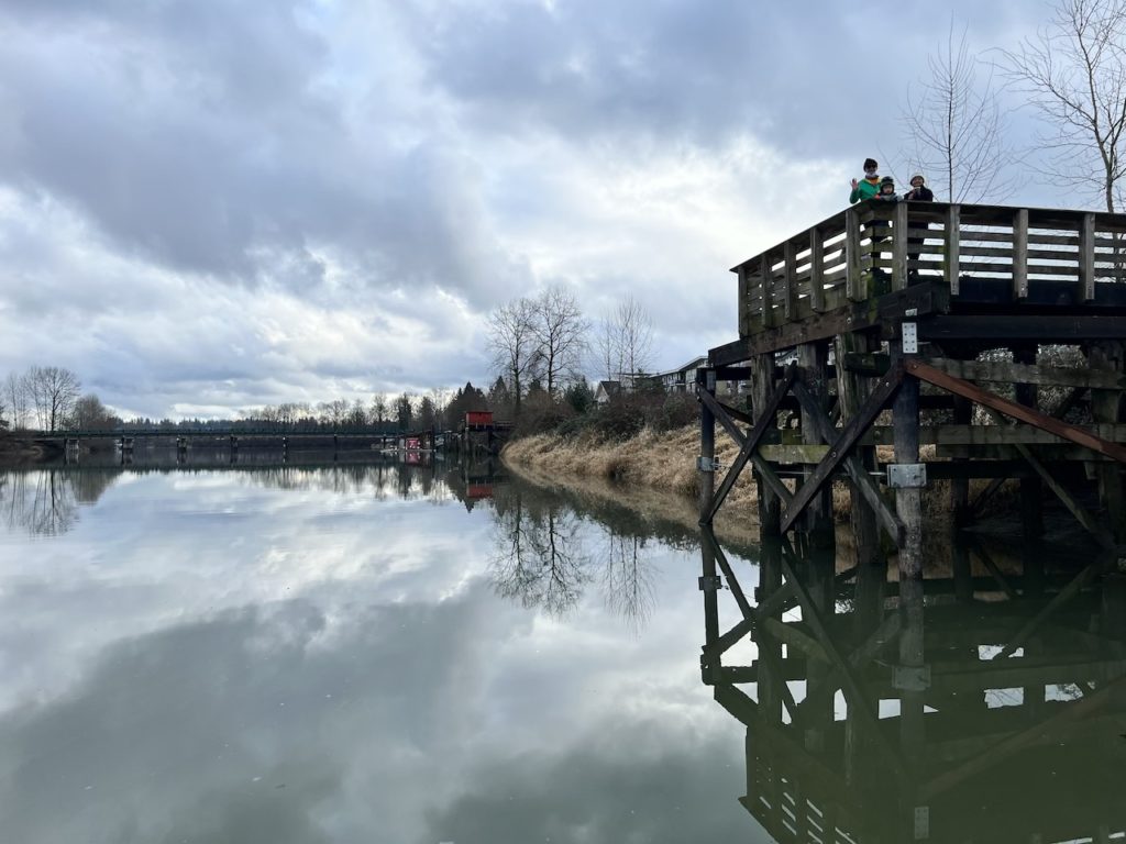
Turning back upstream, my pace slowed noticeably. Grandpa, Grandma and Middle Bro arrived and explored a little bit of the Fort to Fort Trail, so I went over to the Fort Langley side of the channel to say hi.
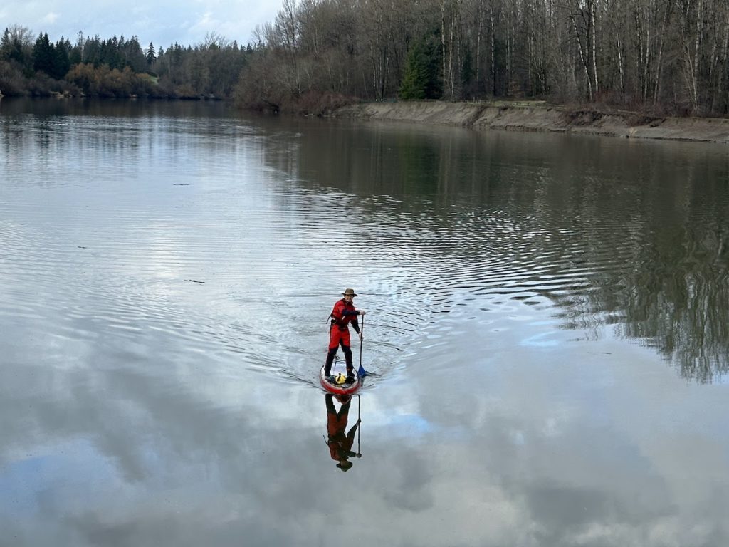
Rejuvenated, I pushed on and explored the eastern end of the channel. The distant views towards Sumas Mountain when paddling east were a lot better than going west.
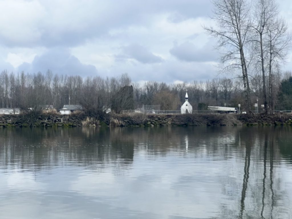
This section of the McMillan Island is home to the Kwantlen First Nation, so it has more development than the regional park in the western portion.
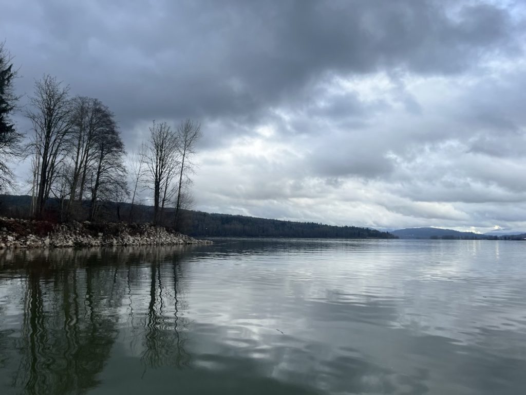
After about 30 mins, I reached the eastern end of the channel. Reportedly during falling tide, the water here can be turbulent and hazardous. I came at slack tide and it was very calm.
I wrapped up my paddle and enjoyed a nice lunch in Fort Langley with our friends. After lunch, the sun even made an appearance.
Overall, this was a very pleasant, 8km out and back river paddle. The river channel is rather straight going east, so the sense of slow, unraveling exploration typical of paddling in small river channels is only present going west.
Discover more from Outdoor Family
Subscribe to get the latest posts sent to your email.
Pingback: oTENTik Glamping at Fort Langley National Historic Site - Outdoor Family