Deas Slough Paddle
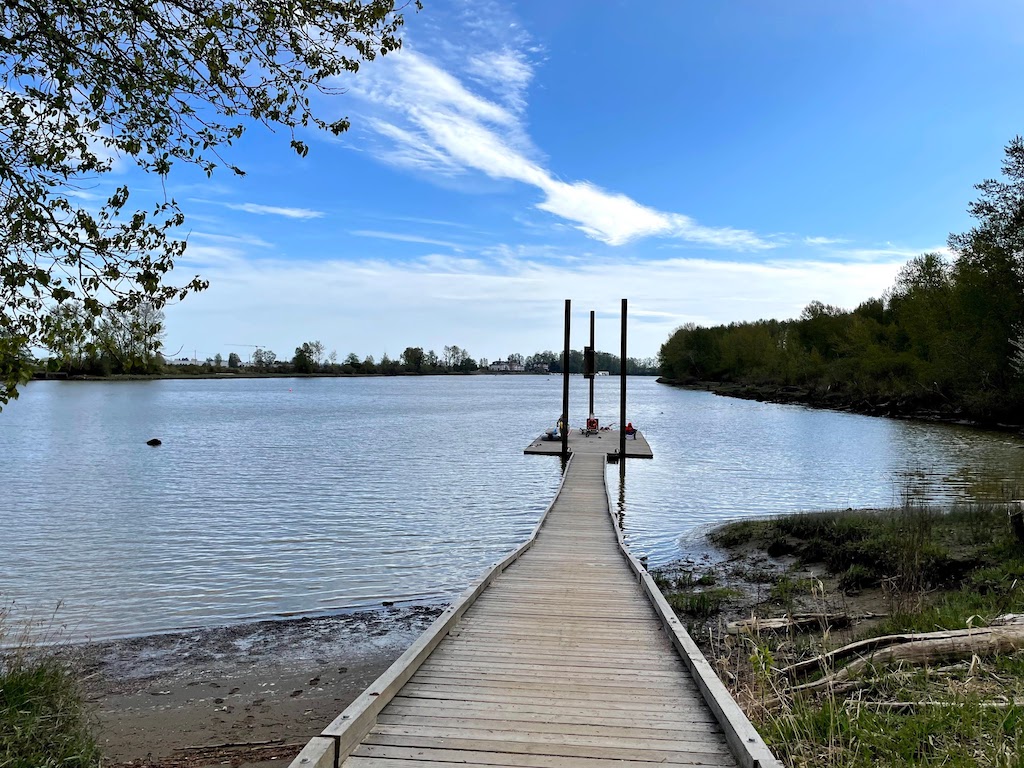
Quick Facts Parking and Launching: Deas Island Regional Park (49°07’34.5″N 123°03’18.2″W) Launching type: dock and muddy beach Difficulty – easy, […]
Quick Facts Parking and Launching: Deas Island Regional Park (49°07’34.5″N 123°03’18.2″W) Launching type: dock and muddy beach Difficulty – easy, […]